Midday Nowcast: Warming Up Nicely
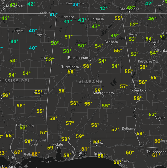
A freezing start to the day for many us, but we are experiencing a nice warm up at the midday hours as temperatures are in the 50s. By the end of the day, they should top out closer to 60° for many communities.
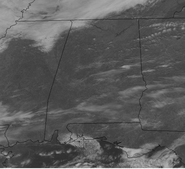
We are seeing more sun than clouds this afternoon, but tonight, clouds begin to increase and scattered showers are expected across the southern half of the state, but most of North/Central Alabama should remain dry. Lows tonight will be warmer, in the 40s. Tomorrow will feature more clouds than sun, with showers possible to the south, and highs tomorrow will surge into the upper 60s.
RAIN ON THE WAY: Moisture levels rise Wednesday as the sky will be mostly cloudy with potential for a few scattered showers during the day. It will be another mild day with highs in the upper 60s. Rain will become widespread across Alabama Thursday ahead of an Arctic cold front to our northwest and an approaching area of low pressure. There will be some surface based instability, but the better shear values will be north of the front in the cold air, and for now severe storms are not expected, but we can’t rule out a few stronger storms as the system moves through the state. We should receive a soaking rain as rain amounts of 1-2 inches are likely Wednesday night, Thursday, and into Friday. Friday starts off with lingering showers and clouds, but these should move out early in the day and we will start to feel the cooler air move into the state as highs fall into the low 50s.
BEACH FORECAST CENTER: Get the latest weather and rip current forecasts for the beaches from Fort Morgan to Panama City on our Beach Forecast Center page. There, you can select the forecast of the region that you are interested in visiting.
WORLD TEMPERATURE EXTREMES: Over the last 24 hours, the highest observation outside the U.S. was 104.9 F at Navrongo, Ghana. The lowest observation was -60.7F at Ekyuchchyu, Russia.
CONTIGUOUS TEMPERATURE EXTREMES: Over the last 24 hours, the highest observation was 87F at Atlantis, FL. The lowest observation was -36F at International Falls, MN.
WEATHER ON THIS DATE IN 1835: A severe cold wave gripped the southeastern U.S. The mercury dipped to 8 above at Jacksonville FL, and to zero at Savannah GA. Orange trees were killed to the roots.
Category: Alabama's Weather, ALL POSTS


