So Far at 10:00 AM, No Watches or Warnings for Central Alabama
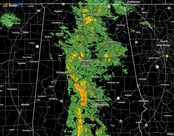
The first rain band of now Tropical Depression Delta has made it to the I-65 corridor in Central Alabama. The good news is that these showers and embedded thunderstorms have stayed well-behaved up to this point of your Saturday morning, but we still have a ways to go before the threat of a few quick spin-up tornadoes come to an end. The timing continues to be from now until 11:00 pm tonight.
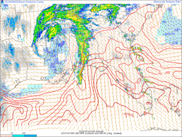
Currently, the surfaced-based instability that we have been expecting to rise so far has stayed limited across the area, but we are now starting to see those values begin to rise over the southeastern quarter of the area into the 500-1000 J/kg range. Bulk wind shear values are just getting high enough to support stronger storms. For now, the higher helicity values remain displaced from the instability, so rotating updrafts in the higher instability locations look to be less likely. We’ll have to continue to watch as the heating of the day will allow for those ingredients to come together for the potential of a few brief tornadoes.
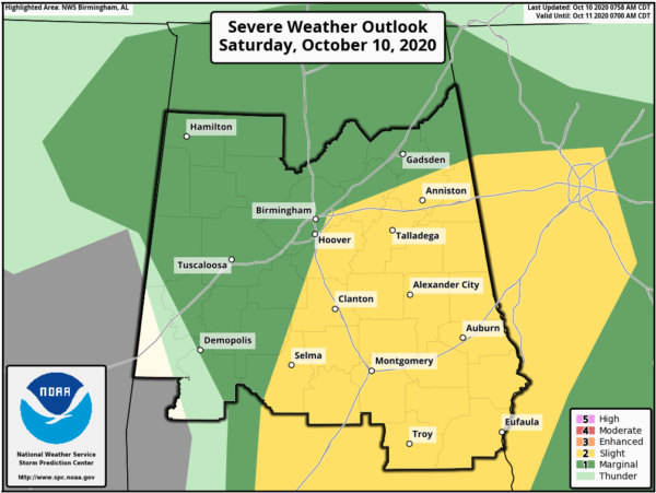
A Slight Risk continues for locations along and west of a line from just west of Selma to Montevalo to Irondale to Piedmont. A Marginal Risk continues for nearly the rest of Central Alabama, with the exception of locations west of a line from Demopolis to Aliceville.
Category: Alabama's Weather, ALL POSTS, Severe Weather, Tropical


