A Nice Sunday in Progress
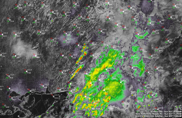
A nice last Sunday in September is in progress across much of North and Central Alabama. It has a little spring feel to it.
An upper-level trough is passing across the northern part of the state, but the air is dry, so showers were limited to some earlier this morning across that part of the state. Additional isolated showers will form this afternoon in areas generally north of I-59.
There have been showers and storms this morning in the I-85 Corridor between Auburn, Union Springs, and Troy. Those showers and storms will diminish by sunset or shortly thereafter.
Afternoon highs will range between 79-85F, with the coolest readings in the Northwest, and warmest readings in the south.
Low clouds will increase during the overnight hours. A few light showers could start forming by morning. Lows by morning will range from 62F near Muscle Shoals to 70F near Montgomery, with middle 60s in the I-20 Corridor.
Tomorrow will be our last warm day as a cold front will arrive tomorrow night. Expect good rain chances Monday and Monday night, especially during the afternoon and evening hours. There could be some thunder especially early Monday afternoon. Rainfall amounts won’t be heavy, generally less than three-quarters of an inch. Afternoon highs will be in the middle 70s in Northwest Alabama, lower 80s in the I-59 COrridor, and in the middle 80s to the southeast.
Tuesday highs will be in the middle and upper 60s North, with lower 70s south.
Category: Alabama's Weather, ALL POSTS


