Strong to Severe Storms Remain Possible Today; Tornado & Flash Flood Watches in Effect
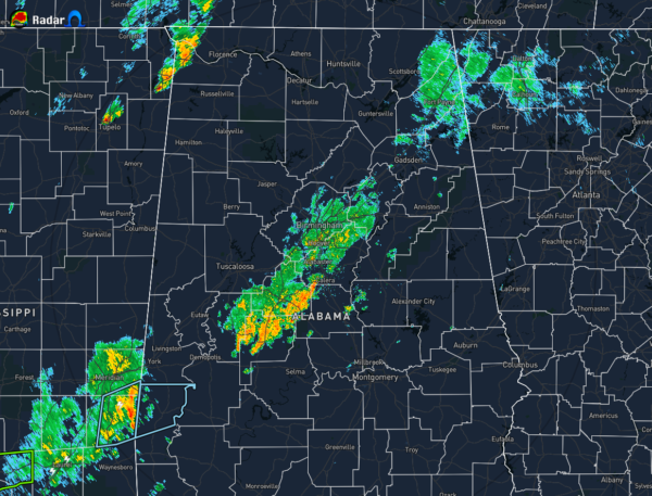
As of 11:40 am, we have no strong to severe storms in North/Central Alabama. We do have showers and storms moving through the extreme northwestern parts of North Alabama and mainly along and just to the south of the I-59 corridor in Central Alabama.
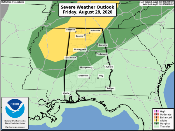
Nearly all of North Alabama and much of the northern third of Central Alabama is in a Level 2 Slight Risk for severe storms while the rest of North Alabama and the northern three-quarters of Central Alabama is in a Level 1 Marginal Risk due to the close proximity of Tropical Depression Laura. A few brief spin-up tornadoes and damaging wind gusts up to 60 MPH will be possible in the risk locations from now until 10:00 pm tonight. Along with that, heavy rain at times could lead to some flash flooding issues.
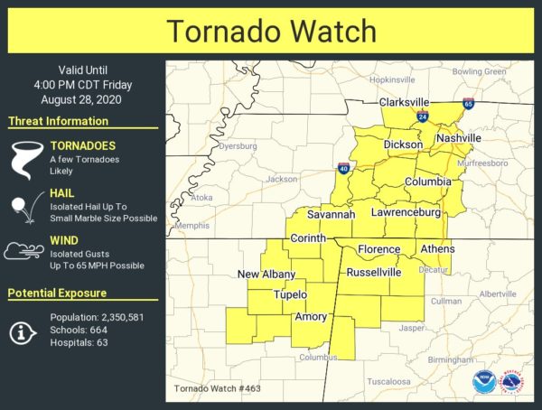
TORNADO WATCH UNTIL 4:00 PM TODAY
• Lamar, Marion, and Winston counties in Central Alabama.
• Colbert, Franklin, Lauderdale, Lawrence, and Limestone counties in North Alabama.
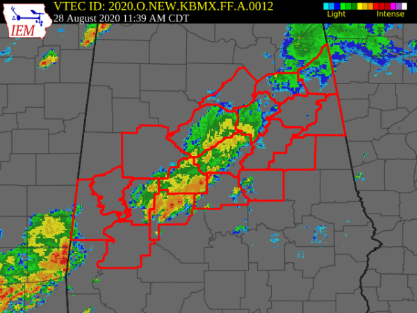
FLASH FLOOD WATCH UNTIL 1:00 AM SATURDAY
Bibb, Blount, Calhoun, Cherokee, Chilton, Clay, Cleburne, Coosa, Etowah, Greene, Hale, Jefferson, Marengo, Perry, Shelby, St. Clair, Sumter, Talladega, and Tuscaloosa counties in Central Alabama.
It will be cloudy throughout the rest of the day. Showers and thunderstorms will move through much of the area today from the outer bands of Tropical Depression Laura, some of those may become severe with a brief tornado and damaging winds up to 60 MPH being possible. Afternoon highs will be in the mid to upper 80s across the area. While the coverage of showers will decrease somewhat for tonight and through the overnight hours, we’ll continue to have a good chance for those. Overnight lows will be in the lower to mid 70s.
Category: Alabama's Weather, ALL POSTS, Severe Weather


