Relatively Quiet Just Before Midday, Rain Chances Increasing for Today & Friday

WHAT’S HAPPENING OUTSIDE THE WINDOW AT 11:45 AM
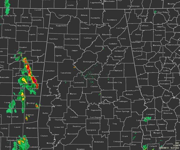
It is nearly a clean sweep on radar at this time, but we do have a shower that has just recently popped up over the extreme northeastern part of Tuscaloosa County and will soon cross over into western Jefferson County. The rest of the area is quiet, but we do see showers and thunderstorms in eastern Mississippi that will cross over into the western portions of the area within the next hour.
Temperatures as of the 11:00 am RoundUp were in the 80s across Central Alabama. Birmingham and Tuscaloosa were tied as the hot spots at 88 degrees. Gadsden was the cool spot at 81 degrees.

WEATHER FOR THE REST OF YOUR THURSDAY
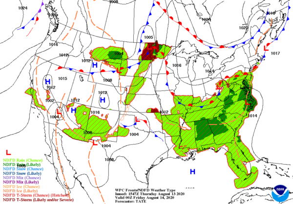
Scattered to numerous showers and thunderstorms will begin to form during the afternoon hours with overall rain chances topping out around 60-70% from east to west. As we have seen over the past few days, the same will hold true for today… Isolated strong to severe thunderstorms are possible this afternoon and early evening. Brief damaging wind gusts of 60 mph and hail up to quarter size could occur. Afternoon highs will range from the upper 80s in the northwest to the lower to mid-90 across the rest of the area.
Several showers and storms will continue into the evening hours and a few could persist into the late-night and overnight hours. While the threat of any severe storms will have dissipated, we may still see a few strong storms with gusty winds and small hail. Where there is no rain, skies will be partly to mostly cloudy and lows will be in the lower to mid-70s.

FRIDAY LOOKING TO BE WET AT TIMES
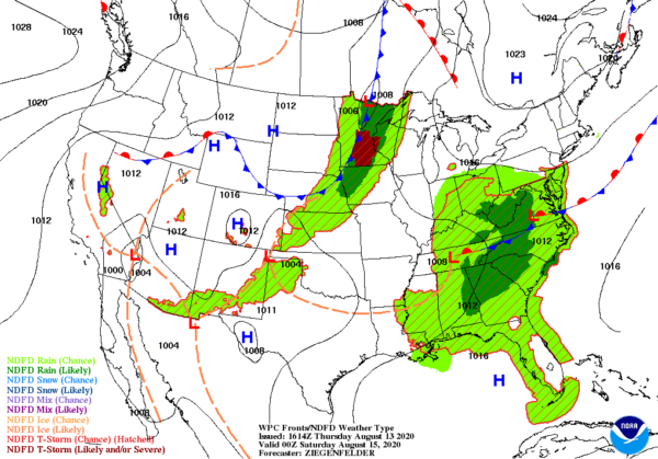
Most of Central Alabama is likely to see showers and thunderstorms as overall rain chances look to be topping out around 70-80%. A low will be dragging a boundary through the area that will be the catalyst for shower and storm formation. It will be a muggy and uncomfortable day as well even though highs are only expected to reach the mid-80s to right around 90 degrees. The good news at this point is that the potential for severe storms look minimal, but we’ll have to see how the atmosphere fares and recovers after today’s activity.

THE EARLIEST “J” STORM ON RECORD
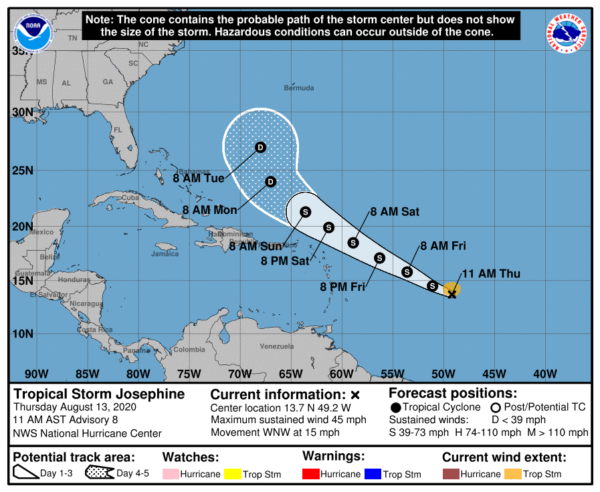
With the formation of Tropical Storm Josephine earlier this morning, she has set the record for the earliest J-named storm. The previous record was Jose back on August 22, 2005. Josephine may strengthen a little over the next couple of days before encountering less-than-friendly conditions. She is expected to weaken back to a depression possibly as early as Monday morning. At this point, she will not be a threat to the US mainland or to the Alabama Gulf Coast. We’ll keep our eyes on Josephine.
Category: Alabama's Weather, ALL POSTS, Severe Weather, Tropical


