We Also Have Invest 92L That May Become the “I” Storm for the Season
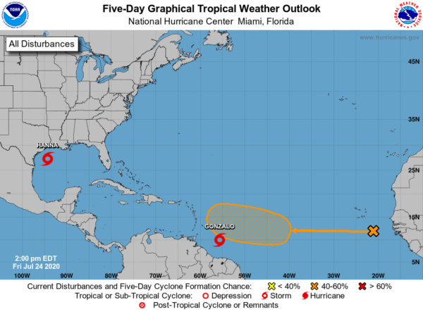
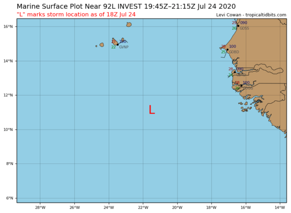
The center of Invest 92L is located about 300 miles to the south-southeast of the Cabo Verde Islands that is producing some disorganized showers and thunderstorms. 92L is expected to move westward over the next few days before it starts developing into a better organized tropical system over the western tropical Atlantic early next week.
Could this be the next disturbance that strengthens into the next named storm on the list, Isaias? We’ll have to wait and see. The National Hurricane Center is giving 92L a 40% chance of developing into a depression within the next five days.
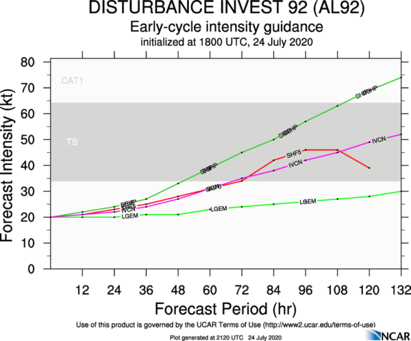
The first intensity guidance is out and shows that most members have 92L gradually strengthening into a tropical storm over the next 4-5 days, while one model member has it growing into a category 1 hurricane within 5 days. We also see that one member keeps it below tropical storm strength as well.
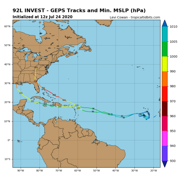
This is the very first spaghetti plot for 92L that only has 2 members on board, showing that one goes into the Gulf of Mexico while the other goes into the east coast of the US Mainland.
All of this to say that it is very early in the game for Invest 92L and we will get much better information on the system when it becomes better organized. Trying to determine where landfall will occur and how strong it will be is simply impossible at this point. We’ll keep you updated.


