
A Few Isolated Showers Starting to Grow on a Hot July Day
Just updating the forecast on a hot July Sunday, a forecast that you just can’t do much with because of the random nature of summertime convection in this type of Alabama pattern.
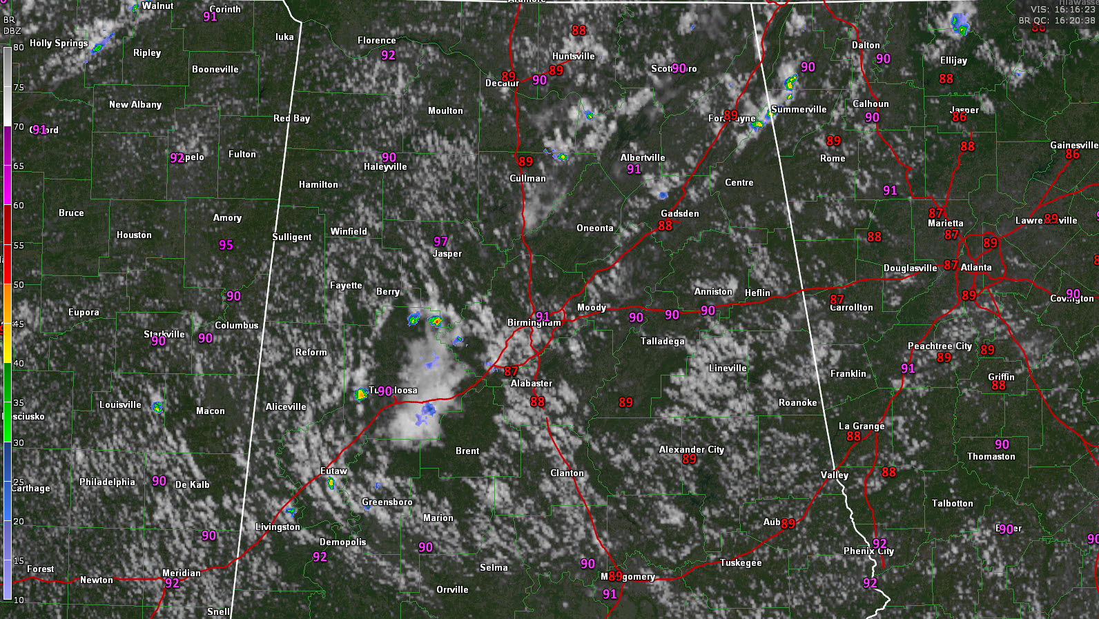
There are a few isolated showers showing up at this hour, mainly west of Birmingham down into Tuscaloosa County. Others are just getting started around northern Culman, eastern Morgan, and Western Marshall Counties.
There do seem to be more cumulus clouds showing up on visible satellite imagery this morning and it appears to be due to an increase in moisture. The main concentrations of that cumulus growth appear to be along boundaries leftover from yesterday’s convective activity.
Temperatures are already above 90F as of 11 a.m. in many locations, heading for highs between 95-98F. Heat index values will reach 105F for a brief period in some locations, and thought a heat advisory has not been issued yet, please take precautions if you are playing our working out sid this afternoon.
Scattered thunderstorms and hot and humid conditions will be the rule in the week ahead across Alabama. Highs will be well into the 90s each day, with lows in the 70s. No significant change is foreseen.
Category: Alabama's Weather, ALL POSTS
About the Author (Author Profile)
Bill Murray is the President of The Weather Factory. He is the site's official weather historian and a weekend forecaster. He also anchors the site's severe weather coverage. Bill Murray is the proud holder of National Weather Association Digital Seal #0001 @wxhistorianSubscribe
If you enjoyed this article, subscribe to receive more just like it.


