Plenty of Sun At Midday… Plenty of Heat for This Afternoon
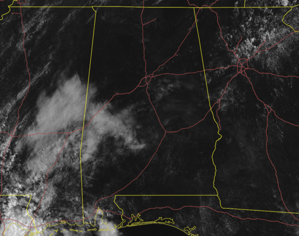
As of 11:15 am, radar is free from any shower or thunderstorm activity as skies are mostly clear across much of the area, and where clouds are currently covering the skies, those are in the process of dissipating. Temperatures were ranging from as cool as 76 degrees in Haleyville to as warm as 86 degrees in Gadsden. Birmingham was at 84 degrees.
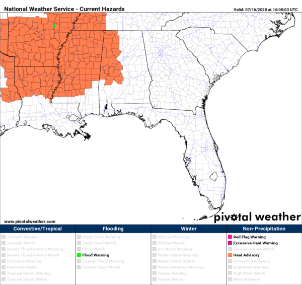
Earlier this morning, NWS Birmingham extended the Heat Advisory for today in time and in area, now starting at 12:00 pm and set to expire at 7:00 pm Friday evening for Bibb, Dallas, Fayette, Greene, Hale, Lamar, Marengo, Marion, Perry, Pickens, Sumter, Tuscaloosa, Walker, and Winston counties. In those advisory locations, heat index values could top out at 105-108 degrees which may cause heat-related illnesses to occur. Take extra precautions if you work or spend time outside. Drink plenty of fluids, stay in an air-conditioned room, stay out of the sun, and check up on relatives and neighbors. Young children and pets should never be left unattended in vehicles under any circumstances.
Weather for the rest of the day looks to be like a typical summer day across Central Alabama. We’ll have mostly sunny skies with a slight chance of a few isolated to scattered afternoon showers and thunderstorms. While chances are low, the higher probabilities for shower activity will be over the extreme eastern parts of the area. Afternoon highs will be in the lower to mid-90s. Any shower activity will quickly diminish around sunset and we’ll be left with mostly clear skies throughout the rest of the evening and through the overnight hours. Lows will be in the lower to mid-70s.
Much of the same for your Friday… hot and humid with mostly sunny skies. Only a very small chance of an isolated to scattered shower or thunderstorm during the afternoon hours. Highs will be up in the mid-90s for much of the area.
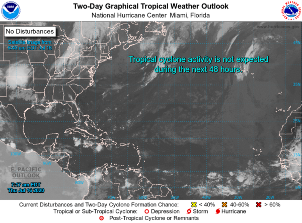
After a very active start to the Atlantic Hurricane Season for 2020, we are surprisingly quiet across the tropics as there are no active tropical cyclones over the Atlantic Ocean, the Gulf of Mexico, or the Caribbean Sea. No new formation is expected over the next five days.
Category: Alabama's Weather, ALL POSTS


