Alabama Weather Update: Watching Storms North of the Border
The Alabama/Tennessee Border that is…
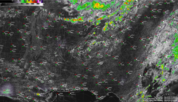
An upper-level disturbance swinging southeastward through the Ohio Valley triggered storms overnight and early this morning through Kentucky and eastern Tennessee and the little surface front accompanying it has triggered new storms this afternoon over Southern Middle Tennessee.
one of those storms just prompted a severe thunderstorm warning for the area around Columbia and Spring Hill, south of Nashville along I-65.
It’s doubtful that that will hold together as they move closer to North Alabama because the airmass has low moisture content and low instability. But any storms that do can tap decent downdraft CAPE for strong winds, like the one south of Nashville.
The convection-allowing models don’t think much of their chances, but they didn’t predict them to get above light shower status, so they may be late catching on to the idea.
A few showers are showing up over east Alabama as we expected. They are mainly over Calhoun, Cleburne, and Clay counties. No lightning, yet.
temperatures across the area are in the middle 80s.
Category: Alabama's Weather, ALL POSTS


