A New Watch is Possible for the Southwestern Parts of the Area

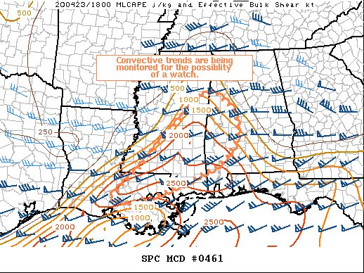
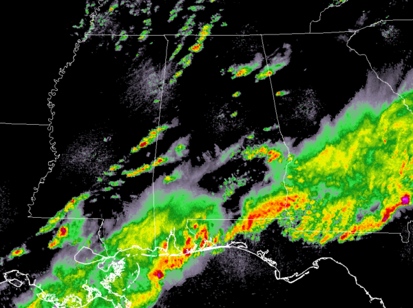
Storms are firing up over the southern parts of Mississippi and down into the east and southeastern parts of Louisiana. It is uncertain at this point if a severe weather watch will be needed, but these are definitely storms that we’ll need to keep our eyes on. Here is the latest Mesoscale Discussion from the StormPrediction Center:
Areas affected…southeastern Louisiana and Mississippi into west-central Alabama
Concerning…Severe potential…Watch possible
Probability of Watch Issuance…40 percent

SUMMARY…
Thunderstorms are starting to develop across southeastern Louisiana and east-central Mississippi in an unstable, yet narrow, warm sector. Given the complexities created by the earlier and ongoing widespread convection to the south and east, the need for a watch is uncertain.
DISCUSSION…
Multiple rounds of deep convection across the Florida panhandle and coastal areas of Louisiana have complicated the evolution of the pre-convective environment across inland portions of Louisiana, Mississippi, and Alabama. Extensive cloud cover across the region, resulting from strong convection over the Gulf, has limited heating and destabilization over the warm sector. Nevertheless, thunderstorms are trying to develop ahead of the surface front/pressure trough as a midlevel shortwave trough approaches. If enough clearing/destabilization is able to occur across the warm sector to get vigorous updraft and thunderstorm development, sufficient shear is in place to support organized storms with a threat of large hail and damaging winds.
Category: Alabama's Weather, ALL POSTS, Severe Weather


