A Brief Check On Our Weather Situation At 2:10 PM

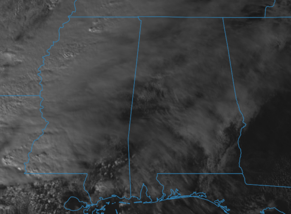
We have a good bit of cloud cover across North/Central Alabama, but they are thin enough to allow sunshine to reach the surface and warm us up into the upper 60s to the mid-70s as of 2:10 pm. Auburn and Troy were the cool spots at 64 degrees and were the only locations in the mid-60s. Several locations on the west and southwestern sides were tied at 75 degrees as the warm spots. Birmingham was at 72 degrees. Dewpoints were in the lower to mid-60s across much of the area, but we are expecting more moist and unstable air to continue to mi=ove in through the afternoon and evening hours.

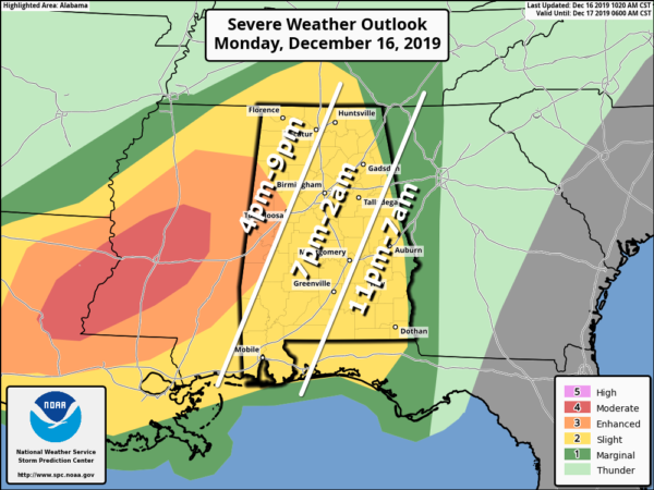
No change in the severe risks at this point across the state and no change in the timing for strong to severe storms to move across the area. The window will start around 4:00 pm and go until around 7:00 am on Tuesday morning.
No change in our threats, as well as all modes of severe weather, remain possible throughout the event: tornadoes, damaging straight-line wind gusts up to 70 MPH, and golf ball size hail.
We may see a couple of supercells that form out ahead of the main broken line of storms that will move into the northwestern parts of the area starting around 4:00 pm. If those can form without being disturbed by any other storms, there is the potential for those to spin up and drop a tornado. We could even see a stronger tornado over the locations defined in the Enhanced Risk for severe storms.
The atmosphere will continue to destabilize throughout the day as more moisture continues to be pulled up into North/Central Alabama, especially with temperatures already up into the 70s. Dewpoints will continue to rise and should make it into the mid to upper 60s. Any watches that may be issued for our area will most likely be tornado watches.

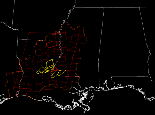
Storms remain active at this point as there are several severe thunderstorm and tornado warnings for portions of Mississippi and Louisiana.
Continue to stay weather aware throughout the day and when the event starts this afternoon. Also, have multiple ways of receiving warnings. Go ahead and activate those WEA alerts on your smartphone if you have them turned off. Be smart and be prepared. Have those safety kits and your safe place ready to go just in case a warning is issued for your location.
Category: Alabama's Weather, ALL POSTS, Severe Weather


