Nearly A Picture Perfect Midday

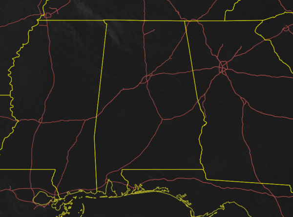
Other than a few rogue wispy clouds floating overhead in the northern parts of the area, Central Alabama is enjoying sunny skies with decent temperatures as of the noon hour. Temperatures were ranging from the upper 50s to the lower 60s across the area. Birmingham was at 58 degrees while Montgomery was the warm spot at 62 degrees. Talladega was the cool spot at 57 degrees.

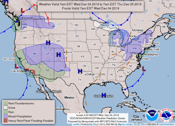
No weather worries across the area for the remainder of the afternoon and into the early evening hours. Skies will remain sunny with highs reaching the upper 50s to the mid-60s across the area. Skies will remain clear tonight and through the overnight with lows hitting the 30s.

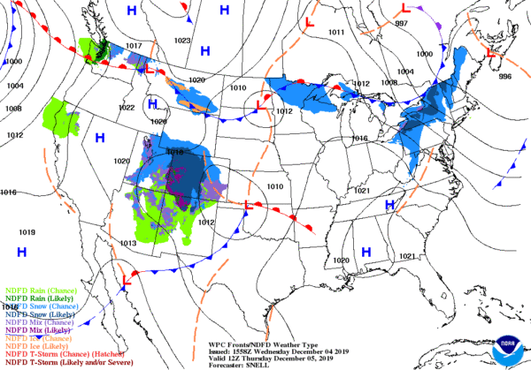
High pressure will reign supreme over the area on Thursday, which will keep our weather beautiful. We may have one or two clouds more than today, but skies will be mainly sunny. Afternoon highs will be in the 60s. Clouds will start to move in from the west during the latter part of the day and a stray shower or two may be possible over the western parts of the area after midnight. Lows will be in the lower to mid-40s. The chance of rain will be around 30% and less from west to east.
ON THIS DAY IN WEATHER HISTORY
2002 – An early-season winter storm brought an expansive shield of snow and ice through much of the eastern U.S., from the lower Ohio Valley, southern Appalachians and into the Northeast. Snow accumulations of 4-8 inches were common along the northern edge of the precipitation shield, while a significant accrual of glaze occurred in the Carolinas. The storm caused at least 17 fatalities, mostly from traffic accidents (CNN). In the Carolinas, electric utility provider Duke Power characterized the ice storm as the worst in the company’s history, with 1.2 million customers or nearly half its entire customer base without power on the morning of the 5th. This surpassed electrical outages inflicted by Hurricane Hugo as it swept through the central Carolinas in September 1989.
Category: Alabama's Weather, ALL POSTS


