Storms Moving Through Mississippi; Watch Not Anticipated For Central Alabama At This Point

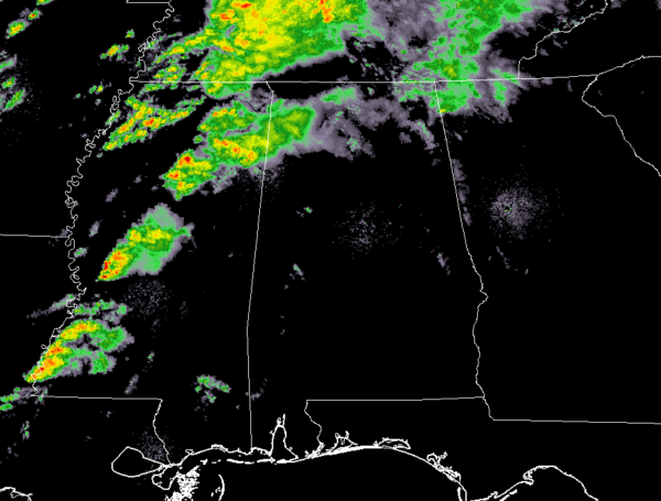
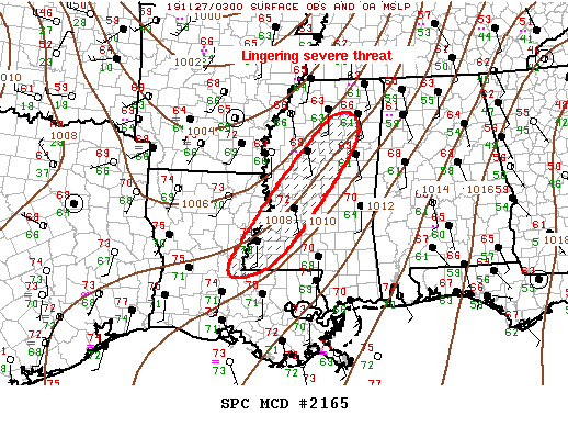
A line of storms is currently stretching across the state of Mississippi from the northeast to the southwest. While there is a tornado watch in effect for parts of Mississippi, it looks like conditions are starting to improve a little to where a new tornado watch is not currently anticipated eastward. Here is the text from the Storm Prediction Center:

The severe weather threat for Tornado Watch 693 continues.
SUMMARY: Some severe threat will linger across portions of Mississippi for the next hour or so. A new weather watch is not currently anticipated.
DISCUSSION: A northeast-southwest oriented band of convection is advancing slowly east across MS late this evening. This activity appears to be maintained primarily by higher dew points along the southern fringe of a low-level jet that extends across this region into the western TN Valley. In the absence of stronger large-scale forcing for ascent, which is expected to remain well north of this region, ongoing activity should struggle to be organized. While shear is supportive of supercells, it’s not clear how severe this activity will be in the absence of stronger forcing. For these reasons, a new weather watch is not currently anticipated.
Category: ALL POSTS, Severe Weather


