A Quick Check At 3:15 PM… Marginal Risk Continues For Parts Of The Area
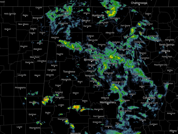
We are starting to see some heavier showers starting to develop over the southwestern parts of Central Alabama over Sumter and Dallas counties. No lightning with these so far, but with CAPE values already in the 1,000-1,500 J/kg range, we may see some lightning soon. Both of these clusters are moving off to the northeast around 40 MPH.
The rest of the rain activity is light to moderate in intensity with no particular cell catching our attention as possibly becoming stronger.
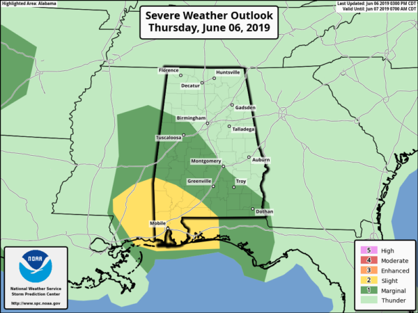
A Marginal Risk for severe storms continues for the west and southwestern parts of Central Alabama, which includes locations south of a line from Vernon (Lamar Co.) to Lake View (Tuscaloosa Co.) to Montgomery (Montgomery Co.) to Louisville (Barbour Co.). The main severe threat will be from isolated damaging thunderstorm wind gusts up to 60 MPH, but there is also a smaller threat of an isolated tornado or two.
The threat for severe storms is marginal at best, as organized severe weather is not expected. With that being said, there is the potential for a couple of storms to briefly become strong or severe throughout the rest of the afternoon and into the early evening hours. There may be a strong storm during the evening to late night hours, but I believe once we lose the heating of the day, instability will drop allowing for whatever is out there to calm down.
We’ll keep you updated throughout the rest of the day.
Category: Alabama's Weather, ALL POSTS, Severe Weather


