Training Of Cells Making Tonight’s Event More Of A Brief Flooding Event
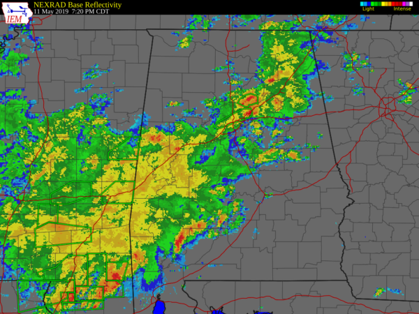
At 7:20 pm, a line of showers and thunderstorms are lined up pretty much along and around the I-59 corridor from the extreme northeastern parts of North Alabama to the extreme southwestern parts of Central Alabama. Training of heavy thunderstorms has led to some flooding issues in parts of Jefferson and Blount counties, leading to a couple of Areal Flood Advisories being issued. Parts of US-78 is closed in Adamsville due to water covering the roadway.
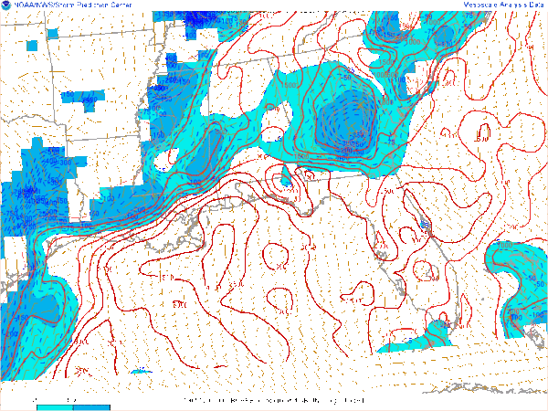
While a strong storm or two remain possible throughout the rest of the evening, the risk of severe has slowly started to lessen across the area. Much of the instability remains over the northern half of the area as a cap has developed over much of the southern half. Much of the lightning with the storms are over the northeastern and eastern locations, especially Blount, St. Clair, and Etowah counties. More lightning is detected well south of the area which has the possibility of moving up into the southeastern parts of the area before weakening and starting to dissipate.
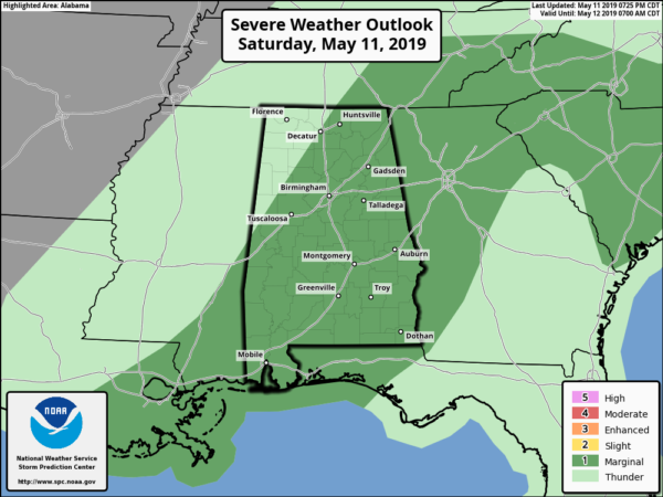
The Marginal Risk for the area has been reduced by the Storm Prediction Center, especially over the northwestern parts of the area. Rain-cooled air has drastically lowered the instability and the threat of severe weather is over for those locations.
For the rest of the area, the threat of stronger to severe storms continue until 9:00 pm. Showers and storms will remain possible across the area after that, but none of those are expected to be strong to severe.
Category: Alabama's Weather, ALL POSTS, Severe Weather


