Threat Continues In Southeastern Parts of Central Alabama, Ended For The Rest
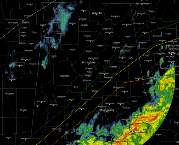
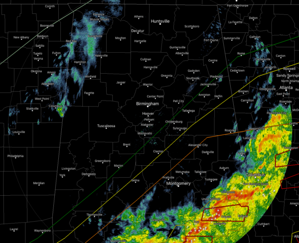
At this point at 3:30 PM, all of the storm activity is confined to the extreme southeastern parts of Central Alabama over Lee, Russell, Bullock, Macon, Pike, and Barbour counties. The good news is that this activity is moving rather rapidly to the east and should be out of the area within the next hour or two.
The bad news is that we have had at least two tornadoes confirmed touched down and causing a great deal of damage over parts of Lee, Russell, and Macon counties within the past 90 minutes. The first tornado contained a very impressive signature on radar with a very large debris ball.
Unfortunately, we are getting reports of multiple fatalities in Lee County from media in the area. As of now, two were reported killed in the Beauregard area. Our thoughts and prayers are with each and every one of you.
For the rest of Central Alabama, the severe weather threat is over and counties are being removed from the Tornado watch. We have a few light showers moving over the northwestern parts of the area, but those won’t last long as they move east.
Category: Alabama's Weather, ALL POSTS, Severe Weather


