Cold Air Is Starting To Catch Up, But Maybe Just Not Quick Enough
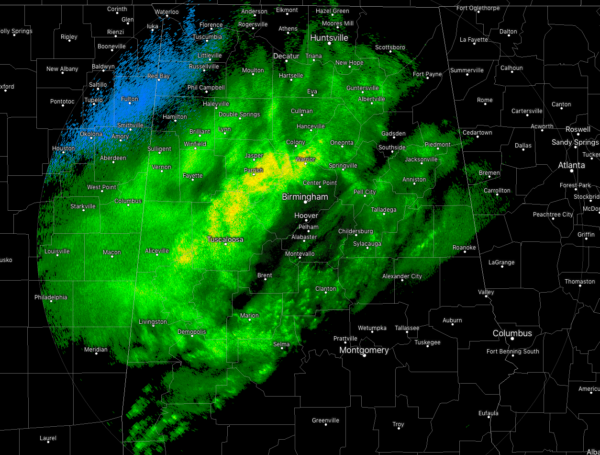
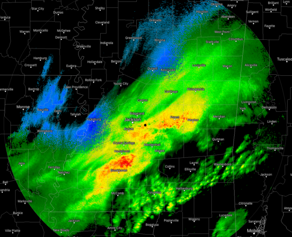
At this point of the wee hours of Tuesday morning, much colder air is starting to move into North and Central Alabama, but for us snow lovers, it is not catching up quick enough to the line of showers that is moving across the southeast.
Temperatures at 2:15 am were in the mid-30s to the upper 40s across North and Central Alabama with the coldest air over Haleyville and Muscle Shoals where readings are 34 and 36 degrees. Birmingham was at 46 degrees while a few reporting stations in the southern portions of the area were right at 50 degrees.
The changeover to snow is occurring back over in Mississippi, especially for such locations as Eupora, Weir, Pickens, Kosciusko, and Vicksburg.
In Alabama, a changeover has started in the northwestern parts of the state, especially for Hamilton, Hackleburg, Phil Campbell, and as far north as Muscle Shoals. The only issue is that the backside of the precipitation shield will be passing through those locations very soon and their chance of any accumulations will be over.
NWS Huntsville has dropped all of their counties from the Winter Storm Warning as the threat of higher accumulations from snow is no longer expected at this time.
NWS Birmingham is in the process of updating their forecast throughout the remainder of the day and I have a strong feeling that the expected snow totals throughout the area may be reduced due to the cold air not catching up with the precipitation.
As I type, NWS Birmingham has dropped the Winter Storm Warning for Blount, Calhoun, Cherokee, Clay, Cleburne, Etowah, Fayette, Lamar, Marion, Randolph, St. Clair, Talladega, Walker, and Winston counties. More information on the cancelation will be in my next post.
We’ll keep you updated throughout the morning. Check back often.
Category: Alabama's Weather, ALL POSTS, Winter Weather


