A Much Needed Break
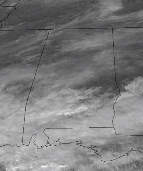
Sure is nice getting break and chance to dry out today from all the recent rains and we are even seeing some sunshine today. Enjoy it, because it won’t last long as clouds will be on the increase as we head through the afternoon as southerly flow will be increasing across the state.
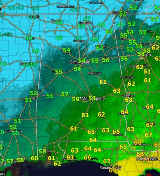
Clouds are already thickening up across South Alabama and these will be spreading north the rest of today and tonight. A wide range in temperatures as well today with 40s across North Alabama, 50s in Central Alabama, and 60s for South Alabama.
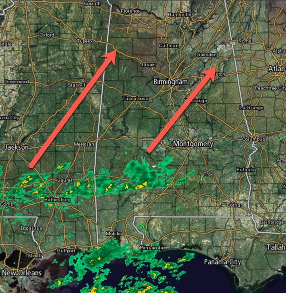
Looking at the radar early this afternoon, Central Alabama is dry, but rain is ongoing across South Alabama and it is gradually lifting north. For North/Central Alabama, we should remain dry for the daylight hours today, but rain is set to return sooner than later.
TONIGHT: Clouds continue to thicken tonight and rain should return to the area as showers will be expanding in coverage across North/Central Alabama. It should be a rather chilly night with upper 40s to lower 50s and we may have some rumbles of thunder at times, but there is no threat of severe weather.
SPOTLESS SUN SPARKS GEOMAGNETIC STORM: Solar Minimum is in full swing. No sunspots? No problem. Last night the spotless sun produced a G1-class geomagnetic storm with bright auroras reported from Iceland to Alaska. More lights are in the offing as a stream of solar wind is expected to buffet Earth’s magnetic field for the next 24 to 48 hours.
SUNDAY: Tomorrow will be a cloudy day with scattered showers expected at times through out the day. A few rumbles of thunder are certainly possible, but there is no severe weather threat. Temperatures will vary greatly across the state with upper 40s and lower 50s across North Alabama, upper 50s to lower 60 in North/Central Alabama, and lower 70s down south. Rainfall amounts should be under one half inch.
Category: Alabama's Weather, ALL POSTS


