A Sunny and Hot Sunday Across Alabama; Keeping a Close Eye on Newly Named Michael
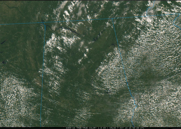
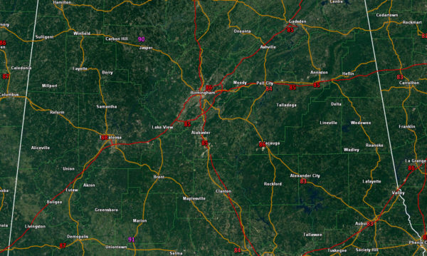
At noon, blue skies dominate Central Alabama’s weather. The sunshine is pushing the mercury toward highs near 90 degrees again, some 10-12 degrees above normal. Readings at noon range include 86F at BHM, 88F at Tuscaloosa and 85F at Anniston.
We actually won’t be very far from the record high for today at Birmingham, which is 93F.
Rainfall this afternoon should be limited to a few isolated showers or storms over the northern half of the state, with the highest concentration over Northwestern sections and mainly after 3 p.m.
Lows tonight will be in the middle and upper 60s.
All eyes are on the western Caribbean this afternoon where tropical depression fourteen has been upgraded to Tropical Storm Michael. An Air Force Reserve Hurricane Hunter plane is enroute to the storm and will be our eyes inside it soon.
Morning model data still points to a landfall along the northern Gulf Coast between Mobile and Cedar Key, Florida on Wednesday. Indications are that it may be a little stronger at landfall, perhaps a category two with an outside chance it could be a category three. This would obviously have a great impact in coastal sections as well inland along the track.
For now, it appears the main impacts will be over Southeast Alabama. Central Alabama will experience rain and wind gusts of 20-30 mph on Wednesday. Rainfall will be generally greater than one inch east of I-65, with two inches or more for areas southeast of a line from Fruithurst to Montgomery to Andalusia.
Category: Alabama's Weather, ALL POSTS


