Hot September Saturday Afternoon
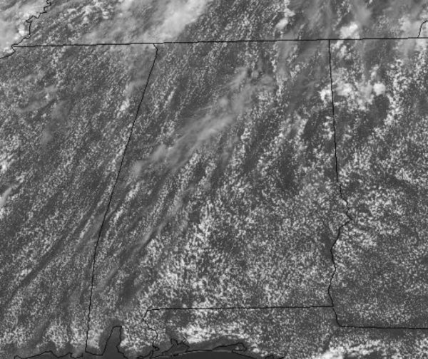
Plenty of sunshine and hot temperatures highlight the forecast for our Saturday afternoon.
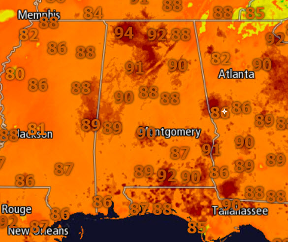
Temperatures early this afternoon are in the upper 80s and are expected to reach the lower 90s in many locations by the end of the day.
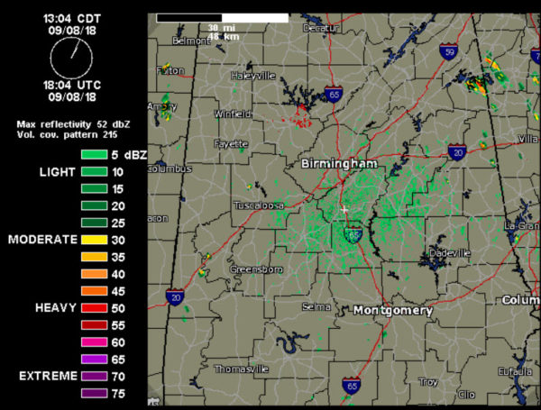
Rain chances remain low today, but there are a few isolated showers showing up on the radar and we will continue to see these through the daylight hours. Nothing too heavy or widespread, but they are out there meandering about the Alabama landscape.
FOR TONIGHT: We are forecasting increasing clouds, with isolated showers/storms moving into northwestern areas before sunrise ahead of a cold front. Lows will be in the low 70s.
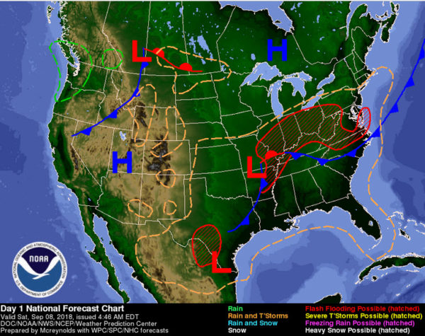
USA BRIEF: Tropical Depression Gordon is located over the Mid Mississippi Valley, is expected to become an extra-tropical low along a frontal zone and interact with a very moist tropical air mass over the weekend. As a result, heavy to excessive rains and the threat for significant flooding remains very high from the Mid to Lower Mississippi Valley through much of the Ohio Valley.
FOR TOMORROW: More scattered showers and storms are expected tomorrow afternoon especially over the northern counties of the state as a surface front drifts down into Tennessee. Otherwise, Sunday will feature a mix of sun and clouds with a high in the upper 80s.
Category: Alabama's Weather, ALL POSTS


