A Quick Check On Central Alabama’s Weather At 3:30 PM
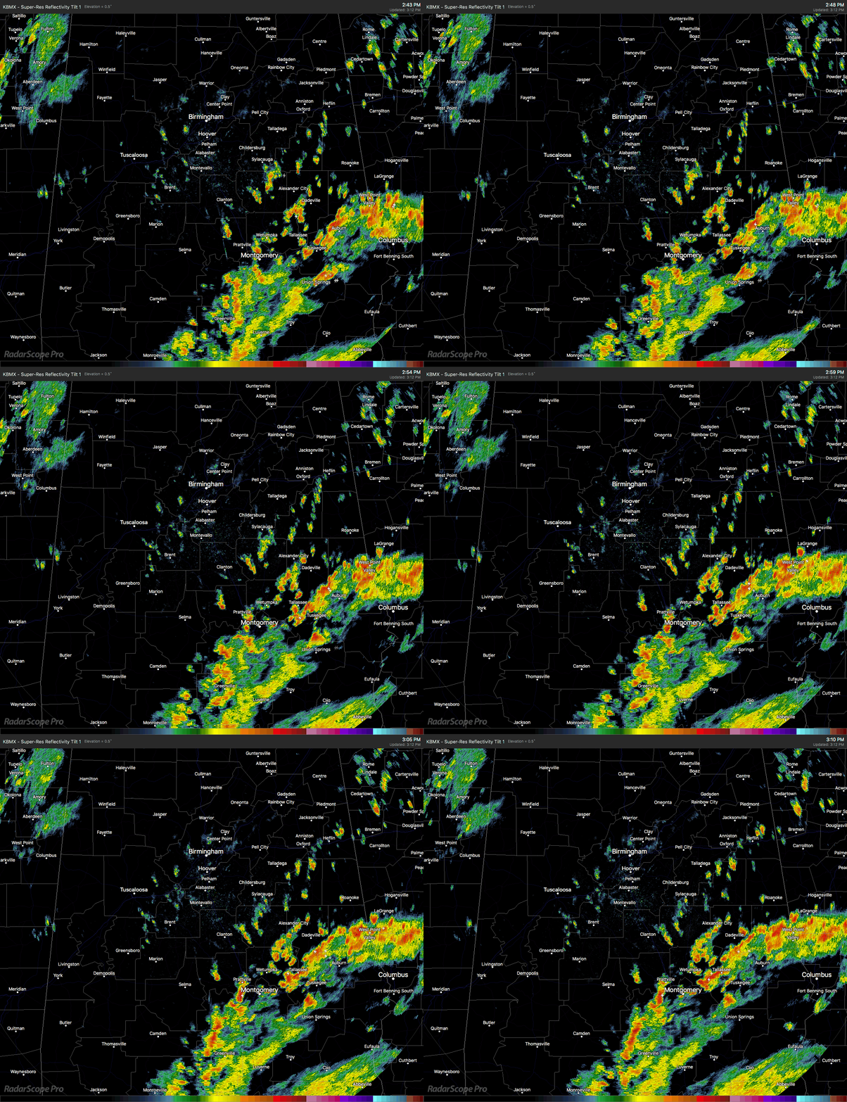
Radar check at 3:10 PM shows very heavy rain and thunderstorms wrapping through the southeastern parts of Central Alabama, as this is another one of several feeder bands associated with Alberto that will move through the area. Heaviest rains at this point are located over parts of Lowndes and Montgomery counties, then over into parts of Macon, Bullock, Tallapoosa, Chambers, and Lee counties.
Some localized flooding could be expected in the poor drainage areas due to the heavy rainfall. We’ll also have to watch for any brief rotations that may start to pop up over the next several hours especially closest to the Alabama/Georgia state line.
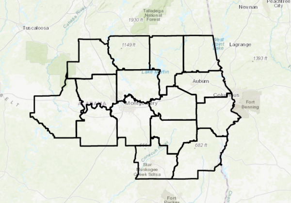
A Flash Flood Watch continues in effect until 7:00 PM Tuesday evening for Autauga, Barbour, Bibb, Blount, Bullock, Calhoun, Chambers, Cherokee, Chilton, Clay, Cleburne, Coosa, Dallas, Elmore, Etowah, Jefferson, Lee, Lowndes, Macon, Montgomery, Perry, Pike, Randolph, Russell, Shelby, St. Clair, Talladega, and Tallapoosa counties. We still have the potential for 4-6 inches of rain to fall over the counties in the watch, with the rest of the area with the possibility of 1-3 inches of rain.
A Flash Flood Watch also continues in effect until 7:00 AM Wednesday morning for all of North Alabama (Colbert, Cullman, DeKalb, Franklin, Jackson, Lauderdale, Lawrence, Limestone, Madison, Marshall, and Morgan counties).
A Wind Advisory continues in effect until 7:00 AM Tuesday morning for Autauga, Barbour, Bullock, Chambers, Chilton, Coosa, Dallas, Elmore, Lee, Lowndes, Macon, Montgomery, Pike, Russell, and Tallapoosa counties. Winds of 20-30 MPH with gusts up to 40 MPH will be possible starting in the southeastern parts of the area and slide northward throughout the evening.
There is a Slight Risk for severe storms for the remainder of today through 7:00 AM Tuesday defined in the southeastern parts of Central Alabama for locations east of a line from Troy (Pike Co.) to Daviston (Tallapoosa Co.) to Roanoke (Randolph Co.). A Marginal Risk for severe storms has been defined stretching westward from the slight risk area to a line stretching from roughly Montgomery to Goodwater (Coosa Co.) to Ranburne (Cleburne Co.). The main threat will be from gusty winds associated with Alberto, along with the possibility for a few spin-up tornadoes.
At this point, the possibility of a Tornado Watch being issued by the SPC is at 40%, but those odds may increase as an isolated tornado threat may develop to the northeast of Alberto this afternoon and into the evening.
Alberto came onshore along the northwestern Florida Gulf Coast around 2:40 PM this afternoon at Laguna Beach, just a few miles west of Panama City Beach as a strong subtropical storm. The highest wind gust that I have seen was at the Tyndall AFB ASOS station was at 51 knots (58.6 MPH).
The photo above was taken by our own Bill Murray as he is tropical storm chasing in Panama City Beach. He experienced the center pass over with the winds calming and a good bit of sun shining on the rain-soaked PCB.
Category: Alabama's Weather, ALL POSTS


