Interesting Discussion Note
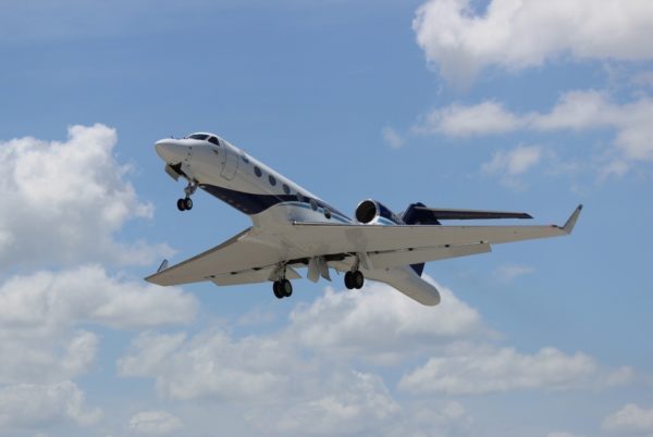
I was reading through the latest discussion from the National Hurricane Center (NHC) on Hurricane Maria and I was struck by a sentence in the last paragraph of the discussion just before the key message feature. That paragraph read, “To increase the sampling of the environment upstream and north of Maria, supplemental 0600/1800 UTC upper-air soundings are scheduled to begin from the eastern and southeastern United States this afternoon. In addition, NOAA G-IV missions are scheduled to begin sampling the environment around Maria on Sunday.”
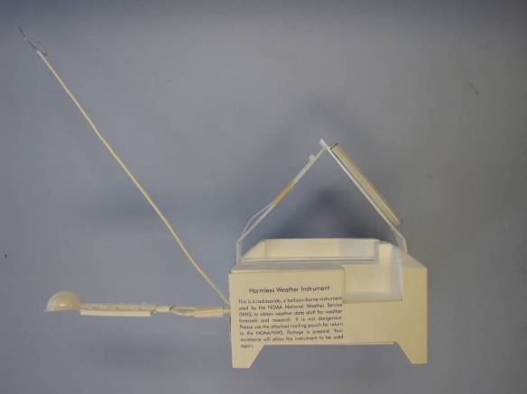
The discussion is filled with great information about the current status of a storm as well as insight into what the forecaster’s thoughts are on what he or she expects the storm to do. But this paragraph has no information about either. But what it does have is insight into just how important knowing and understanding the conditions in the environment immediately around the storms. As noted, NHC has apparently requested additional upper air soundings from stations along the eastern and southeastern US coast starting this afternoon. In addition to that, the NOAA G-IV (Gulfstream IV aircraft) will be sampling the environment around Maria beginning on Sunday. If you would like more information about the NOAA G-IV you can find it at the page for NOAA’s Office of Marine & Aviation Operations.
While this small, rather innocuous paragraph in the discussion doesn’t say much about the storm itself, it does underscore the importance to hurricane forecasters of critical weather data in the environment around the storm. Consider that if data were only available from the Hurricane Hunters, as valuable as that data is, it only helps hurricane forecasters with the current condition of the storm. This is important in order to identify trends in strength, but having good data on the surrounding environment, especially just ahead of the storm, becomes crucial for the forecaster in order to make an accurate and reliable forecast.
Also consider what the cost is for this data. The latest information that I can find on cost of the actual radiosonde including the sonde, the balloon, the parachute, the helium, and the string to put the whole package together runs somewhere in the range of $350 to $400. Keep in mind this does not count the cost of manpower or the ground station hardware, just the expendable equipment. Then there is the cost of the NOAA G-IV, and I’m not even going to attempt to estimate the cost to fly those missions. Again, data crucial to good forecasts and ultimately watches and warnings.
So there is a lot of information, data, work, and money that goes into the process of creating the forecasts we’ve all become accustomed to seeing. Now onto something of nearly equal importance, Saturday afternoon football.
-Brian-
Category: ALL POSTS, Hodgepodge, Tropical


