A Quick Radar Check at 4:30PM
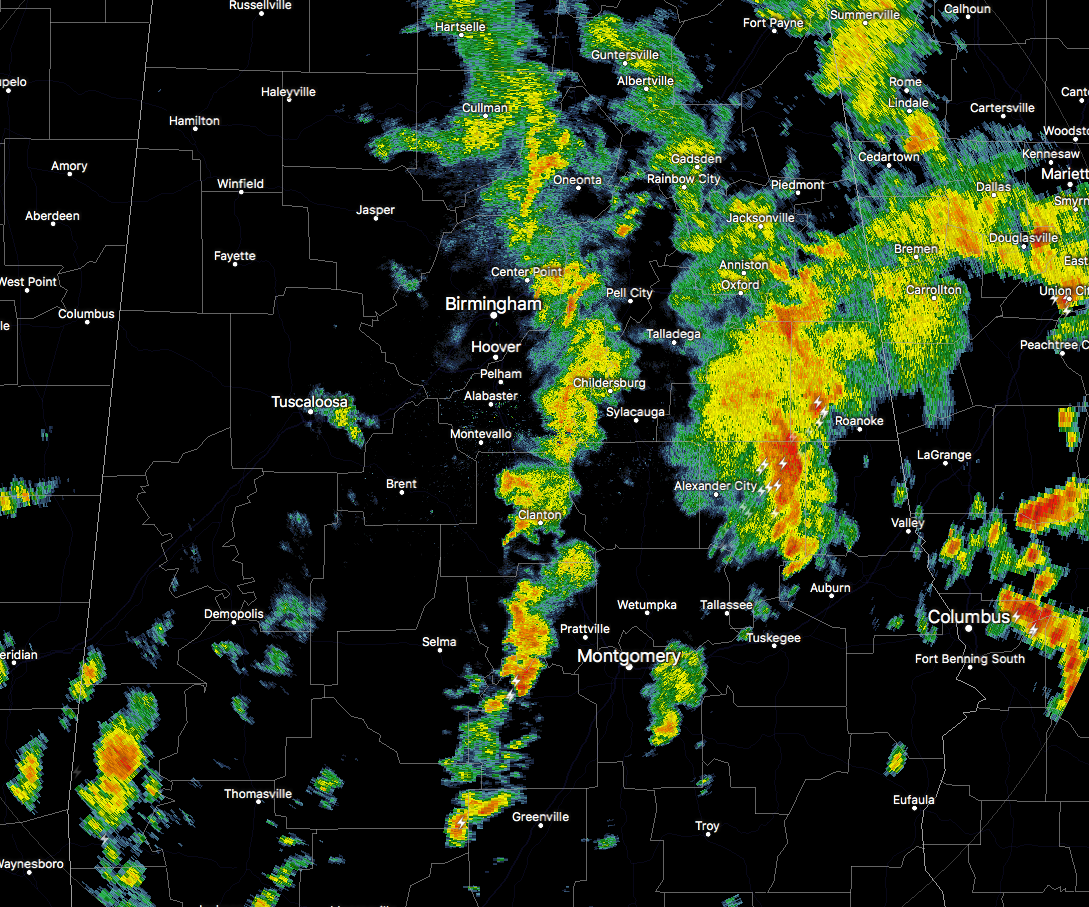
Most of the showers associated with the outer feeder bands have now progressed over into the eastern half of the state at this time. The strongest cells at the moment are located in Tallapoosa, Chambers, and Randolph counties, with another strong cell that is showing signs of a little rotation in Lowndes County in currently over the White Hall community.
All of these are continuing to move in the general north-northeast direction as they rotate around the center of Tropical Depression Cindy, which is now located near Rustin, Louisiana.
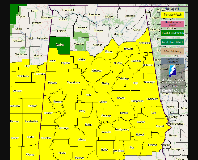
We current do not have any convective warnings in effect, but much of Central Alabama is still under a Tornado Watch until 10PM tonight.
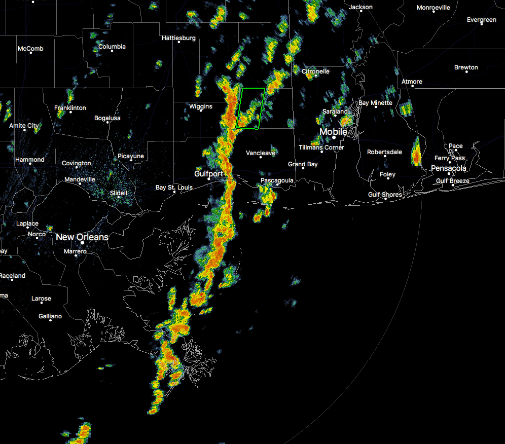
There is another feeder band that is moving onshore in extreme southeastern Mississippi that has the potential to rotate into the southwest to west-central parts of the area tonight. We will keep our eyes on this band just in case more circulations form within the band.
Keep up to date with the AlabamaWx Weather Blog throughout the rest of the day and into tomorrow as we deal with the remnants of Cindy.
Category: Alabama's Weather, ALL POSTS
About the Author (Author Profile)
Scott Martin is an operational meteorologist, professional graphic artist, musician, husband, and father. Not only is Scott a member of the National Weather Association, but he is also the Central Alabama Chapter of the NWA president. Scott is also the co-founder of Racecast Weather, which provides forecasts for many racing series across the USA. He also supplies forecasts for the BassMaster Elite Series events including the BassMaster Classic.Subscribe
If you enjoyed this article, subscribe to receive more just like it.


