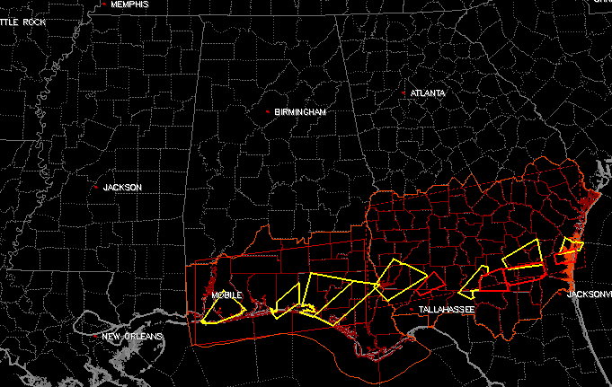
A Quick Update On The Central Alabama Weather Situation At 8:45 AM
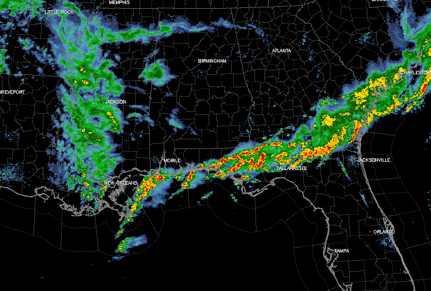
At this time for Central Alabama, it is quiet across much of the area. There are a few showers on radar at this time over the western counties, affecting the cities of Hamilton, Haleyville, Sulligent, Pickensville, and Aliceville. The rest of the area is dry at this point.
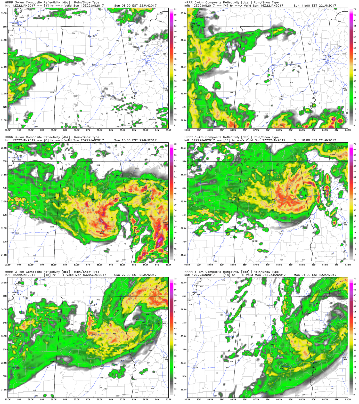
Looking ahead at the latest HRRR run, our next round of storms will rotate around the low pressure center that is currently located back in western Arkansas, and make it into the area around 10-11AM, and will move through the area and should be done by the 3-5AM time frame on Monday morning. The main threat for strong to severe storms will be from 10AM-3PM today.
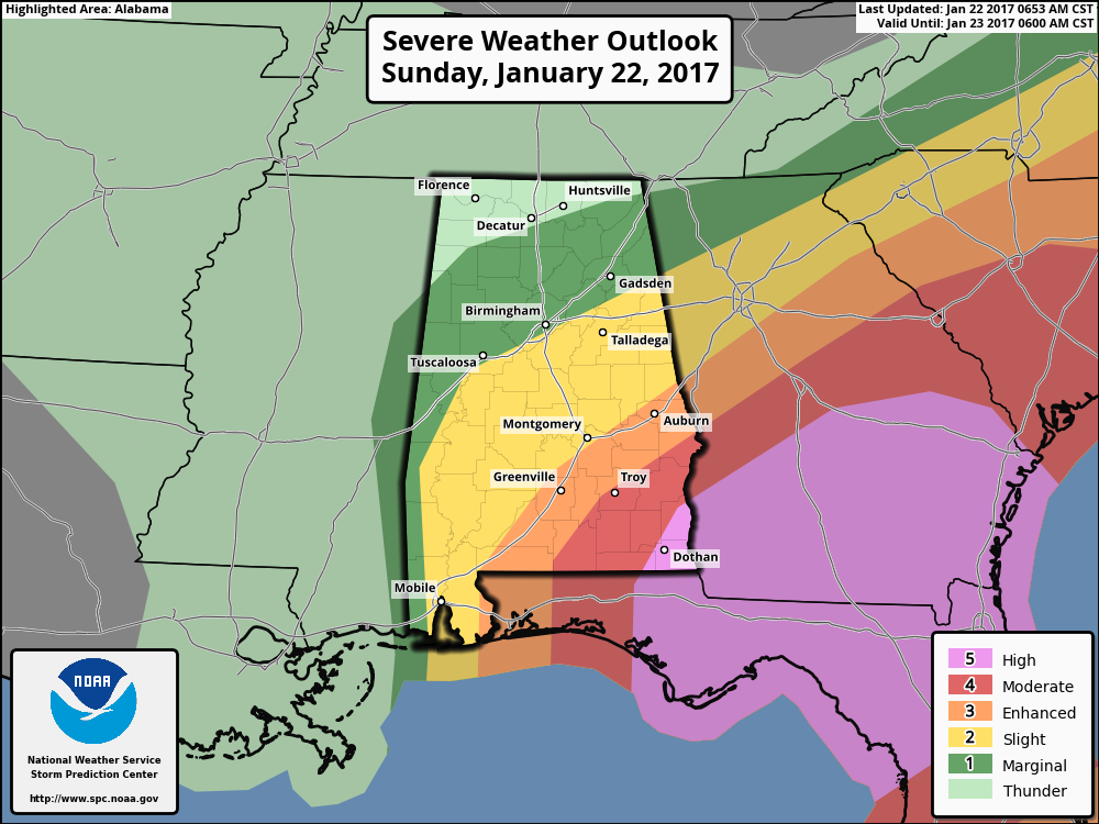
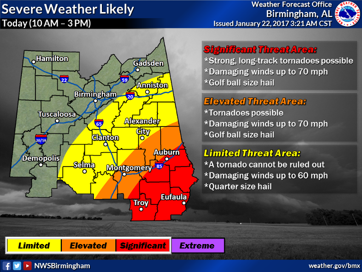
The Storm Prediction Center currently has much of the south and central parts of Central Alabama under the standard “Slight Risk” throughout today, with locations in the southeastern parts in the “Enhanced Risk” for severe storms. Pike and Barbour counties have been placed in the “Moderate Risk,” and the extreme southeastern corner of the state is in a rare “High Risk” for severe storms.
Storms will develop within an airmass that is unstable and strongly sheared. Low level shear will support a threat for a few tornadoes, damaging winds, and large hail. There could even be large, long-track tornadoes in the enhanced and moderate risk areas.
A tornado watch has already been issued for the extreme southern counties of Alabama, and severe thunderstorms have already formed in the area.
Today will be a day that you pay very close attention to the weather, especially if you’re south of the I-20 and I-20/59 corridors. Have a reliable source of receiving weather information on hand. We will keep you updated throughout the day on the blog.
Category: Alabama's Weather, Severe Weather

