Some Mid-Evening Notes on the Forecast
The forecast die has been cast and now we are in wait and watch mode across Alabama tonight as the first winter storm of the new year and season takes aim at the Southeast.
Rarely does it seem that forecasts are cut and dried when it comes to winter weather in Alabama. Have probably seen fifty or so snow events in my time and I can only remember one that was fairly set in stone three days in advance and evolved the way we thought. That was the January 1992 storm that dumped 4.4 inches on Birmingham.
Will our forecast change? It very well could. This system will likely throw us several surprises before it is done.
The morning run of the GFS was very concerning, with more moisture being thrown up and into a really cold airmass. That’s a recipe for snow in our state. Throw in a large swath of mixed precipitation across South Central Alabama and you have the makings for a significant event.
Then the European run was much drier and further south, with a much smaller impact. The early afternoon run of the GFS sided with the European calling for a drier system. Will that trend continue in new runs?
The new NAM tonight wants to really ramp up the snow over the northern half of Alabama, dumping widespread 1-3 inch snows late tomorrow night. That is very interesting and plausible.
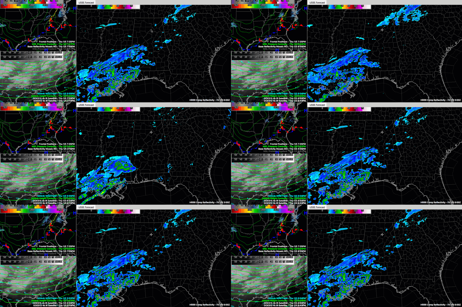
The HRRR shows increasing precipitation all across North Central Alabama after midnight tonight through much of tomorrow morning, especially after 10 a.m.
All of this flip flopping just indicates that the models don’t have a good handle on the situation. As James always says, it is getting close to time to look at the radar and out the window.
For now, I think the forecast is good and we will start to look for the whites of our system’s eyes. We know there will be cold air. We know there will be a surface low in the Gulf. We know that there will be a band of snow over North Alabama where they will be strong dynamics. Now we just have to see how it all plays out.
Category: Winter Weather


