Mainly Sunny and Hot Saturday Afternoon
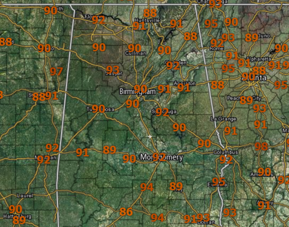
Plenty of sun today and temperature have responded; after starting the day off in the 60s and 70s, we are seeing lower and mid 90s for many locations.
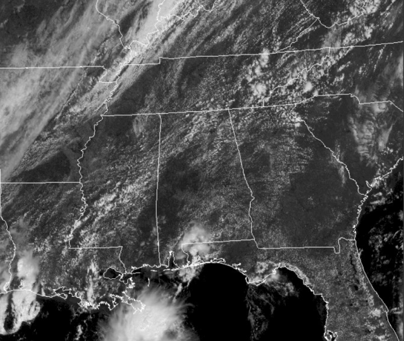
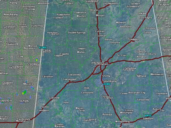
No rain showing up early this afternoon in Central Alabama, but we are seeing a few very light and isolated showers trying to develop over East Mississippi. We are not expecting much in the way of shower/storm activity until the front gets closer. Currently, early this afternoon, the front stretches from northern Michigan, down into Central Arkansas, and Deep South Texas.
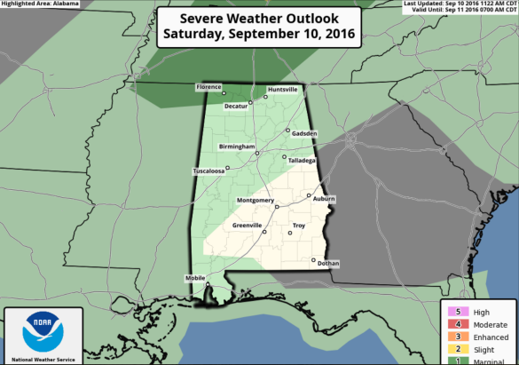
Not much shower/storm activity along the front currently, but that is expected to change as the SPC is forecasting severe weather along this boundary later today, especially over the Ohio Valley. We do note, the “marginal risk” extends into the extreme northern part of Alabama, but for the most part severe weather is just not expected in Alabama due to the lack of shear.
TONIGHT: Increasing clouds are expected and we are going to see a few showers/storms in Alabama as the front sinks towards the southeast, but nothing too widespread is expected.
SUNDAY: The front stalls across Central Alabama as the better dynamics shift towards the Northeast U.S. We are going to see a mix of sun and clouds tomorrow, and we will mention the chance of a few scattered, mainly afternoon and evening showers and storms, but once again, these are expected to be few and far between. Highs tomorrow in Central Alabama should be in the upper 80s, while mid 90s are expected across South Alabama.
Category: Alabama's Weather


