A Hot Saturday Afternoon
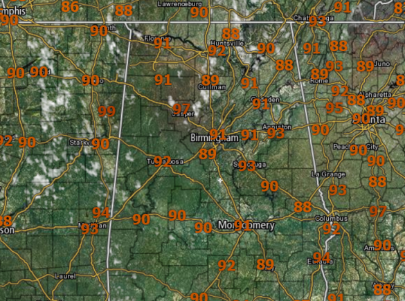
Our weather continues to be dominated by the influence of the upper ridge across the Deep South. For today we are seeing plenty of sun and hot conditions as temperatures are in the 90s out there this afternoon.
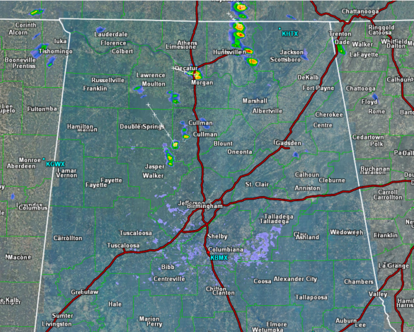
We are watching a few of those isolated storms this afternoon, but for the most part the radar has very little activity currently. Most of this activity is across northern portions of the state and are tracking towards the northeast.
Tomorrow’s weather will be the same, expect partly to mostly sunny, hot, humid conditions with isolated, mostly afternoon and evening showers and thunderstorms. Afternoon highs will be generally in the low to mid 90s.
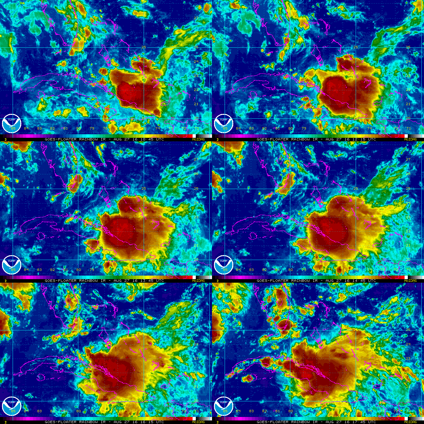
INVEST 99L: Looks unimpressive today as the weak area of low pressure located between the northern coast of Cuba and Andros Island in the Bahamas continues to produce a large area of disorganized showers and thunderstorms, mainly to the south and east of its center.
Upper-level winds are not conducive for significant development during the next day or so while the low moves west-northwestward through the Straits of Florida at about 10 mph. Environmental conditions could become a little more conducive for some development when the system moves into the eastern Gulf of Mexico early next week. Heavy rains are likely to continue over portions of eastern and central Cuba today. Gusty winds and locally heavy rainfall are likely over portions of the Bahamas, and will spread into parts of southern Florida and the Florida Keys by Sunday. The Hurricane Hunter aircraft mission scheduled to investigate this system today has been cancelled.
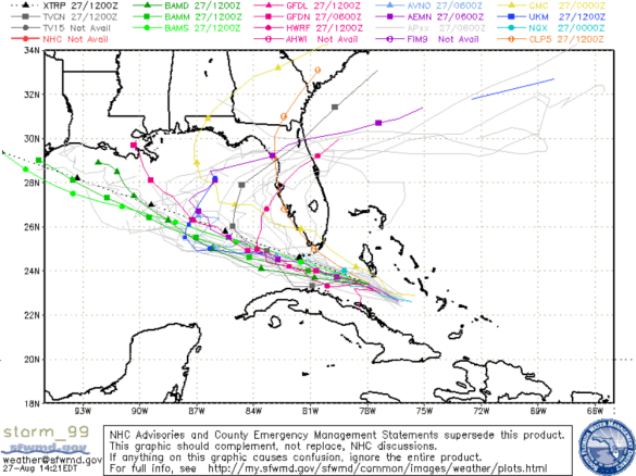
This feature could still develop but the NHC give this feature a 40% of development the next five days. Due to the upper-ridge over the Southeast, it appears the system will continue to track west across the Gulf. The computer models are still struggling with this system and there is a lot of uncertainty with it, so stay tuned…
Category: Alabama's Weather


