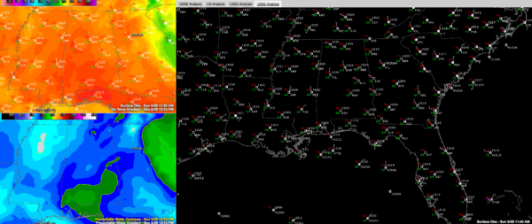
A Noonday Look at Alabama’s Weather
A healthy field of cumulus is developing over Alabama on this late May Sunday.
Some drier air is working in aloft over the northwestern part of the state, thanks to the circulation around Tropical Depression Bonnie, which moved inland this morning east of Charleston SC as a weak tropical storm.
It will turn north and northeast over the next couple of days, remaining over South Carolina through tomorrow, then traversing the coastal sections of North Carolina through Wednesday.
There has been some heavy rain this morning over South Carolina. 7 inches fell over Jasper County, forcing I-95 to be shut down near Ridgeland. One fatality has been reported due to rip currents.
A coupe of isolated storms could form southeast of I-59 this afternoon, but don’t expect much today or tomorrow in the way of cooling showers, so your barbecues and lake trips should be fine.
Highs will be near 90F both days.
Category: Alabama's Weather


