Wednesday Midday Nowcast For Alabama
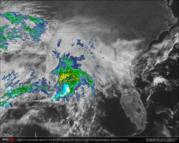
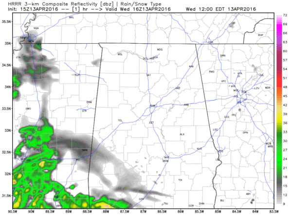
CURRENT CONDITIONS: Skies are cloudy across the state, with moderate to heavy showers and thunderstorms making their way into southwest Alabama.
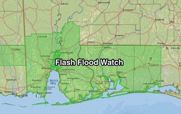
A Flash Flood Watch will go into effect at 1:00 PM this afternoon through Thursday evening for Mobile and Baldwin Counties in Alabama, portions of northwest Florida and southwest Mississippi. Rainfall in the watch area could reach up to 3 to 5 inches, with localized higher amounts possible.
TEMPERATURES: Most spots across the state are currently reporting in the 60s, with a few lower 70s showing in the southeast corner of the state. Here are temperatures at 11:30 AM:
Birmingham: 62
Tuscaloosa: 61
Gadsden: 63
Anniston: 66
Huntsville: 63
Montgomery: 64
Mobile: 63
Dothan: 72
LATER TODAY/TONIGHT: Most of the rain and thunderstorm activity will stay in south Alabama throughout the daytime and early evening hours. Highs today will be in the upper 60s to the lower 70s across the area today. More showers and storms are expected to develop and move across the state later tonight and into tomorrow.
TOMORROW: Rain and thunderstorm chances will persist throughout the day on Thursday. There will be some breaks in the rain, but rain amounts of 1/2 to 1 inch are likely. Severe storms are not expected. Highs tomorrow will only reach the lower to mid 60s.
HONDA INDY GRAND PRIX OF ALABAMA: The big event at Barber Motorsports Park is April 22-24. It is too early for a specific forecast, but the pattern favors mild temperatures. Get your ticket information here.
Category: Alabama's Weather


