Sunny, Cool, Breezy Spring Day
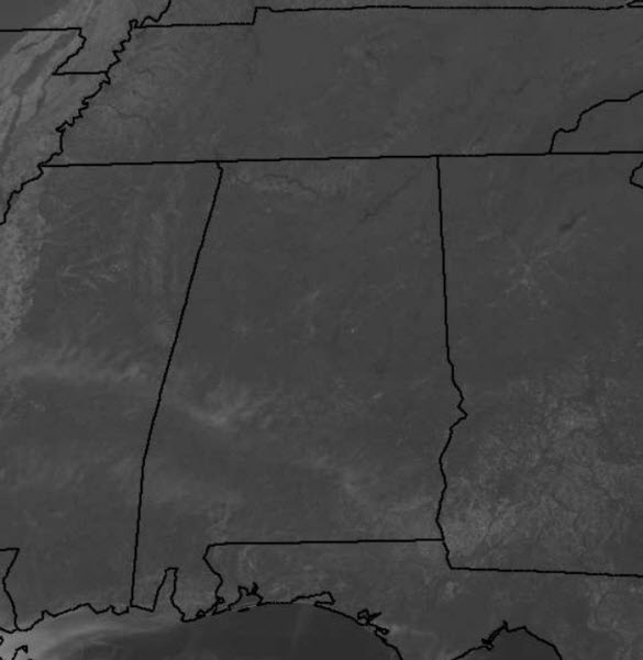
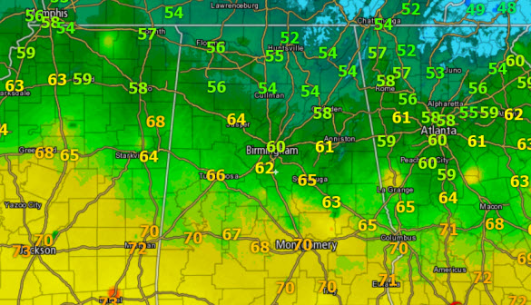
Though it is a gorgeous day outside, and it is looking like spring with blue sky, sunshine, and the trees all dressed in green, it is not feeling like spring. It was a chilly start to our day with many spots well down into the 40s. Temperatures have moderated, but they are only in the upper 50s and lower 60s across North-Central Alabama this afternoon.
We continue to deal with breezy northwest winds as well, and that will keep us unseasonably cool for the weekend.
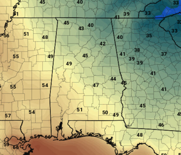
ANOTHER CHILLY NIGHT: Our winds will decrease some heading into the overnight hours, but they should remain up enough to keep the boundary layer mixed, and prevent any widespread frost issues. However, it is going to be cold tonight, with 30s and 40s for the vast majority of us. There will be the threat of patchy frost across extreme North and East Alabama by tomorrow morning, especially in those colder sheltered spots. Growers beware, and to be safe, I would cover sensitive vegetation. The forecast model output below is at 7AM, which is on the hour, and a lot of time temperatures will drop lower between hours. This is also, model output and not an official forecast, but a general idea of what to expect tomorrow morning.
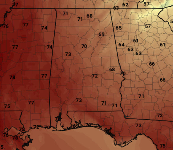
WARMER SUNDAY: After the cold start, we will see temperatures begin a warming trend and afternoon highs should be around the 70 degree mark. Forecast model output below for highs tomorrow looks pretty close to what we expect.
We will see more clouds tomorrow as a shortwave moves across the area. It will allow for clouds to develop, but due to the lack of moisture, rain is not expected. Winds will be lighter tomorrow as well.
Category: Alabama's Weather


