Late Night Severe Weather Notes
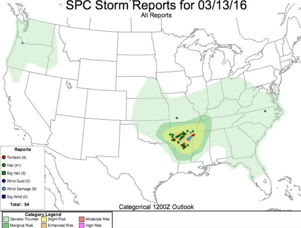
The SPC slight and enhanced severe weather risk forecast has been spot on today, with at least four tornado reports so far, over 45 hail reports (including 5 significant hail reports) and nearly ten reports of wind damage.
The storms are crossing the Mississippi River at this hour. One potentially tornadic storm has been approaching the Memphis area from the southwest, but the circulation has been lost in the past few radar scans. A severe thunderstorm warning is in effect for the City of Memphis.
LATE REPORT AT 9:36:
Possible tornado was reported at 9:25 in DeSoto County MS south of Memphis.
TORNADO WATCH CONTINUES
Several counties south of the current tornado watch were added to it, along I-20 from Ruston to Vicksburg and up to Yazoo City.
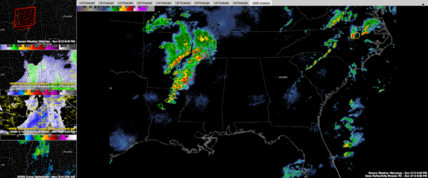
The graphic shows the current tornado watch in the top left panel.
LATER TONIGHT
The storms will weaken as they lose instability to access.
The other panels on the left side show projections from the HRRR model at 5 a.m.
The second from the top shows instability. There will still be decent instability over Pickens, Lamar, Fayette and northwestern Tuscaloosa Counties.
The third panel from the top on the left shows low level helicity and there will be some. If any storms manage to hold together they could produce a damaging wind gusts and even a smal spin up tornado is not out of the question, but very unlikely.
The fourth panel is the telling one. It shows the projected radar from the HRRR at 5 a.m. You can see, the storms seem to be confined to areas north of US-278.
Category: Alabama's Weather, Severe Weather


