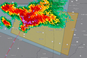
Severe Storm in Butler, Crenshaw Counties
At 439 PM CDT, a severe thunderstorm was located over Greenville, moving east at 20 mph.

At 439 PM CDT, a severe thunderstorm was located over Greenville, moving east at 20 mph.
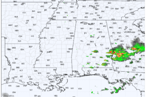
RADAR CHECK: Showers and a few strong thunderstorm continue across Southeast Alabama, where a severe thunderstorm watch is in effect until 9p CT. The rest of the state is dry with only isolated showers… temperatures are mostly in the mid to upper 80s. Storms move out of Alabama later tonight; lows will be in the 60s.
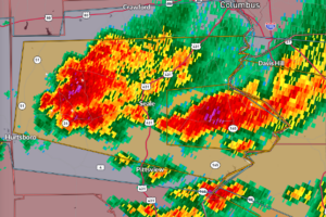
This warning is for the storm near Oswichee. But there is another strengthening storm in western Russell County, west of 431 again, north of Hatchechubbee. That’s a new town name for me! It will move near Seale once again.
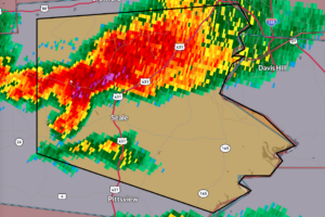
The most dangerous part of the storm is approaching US-431 from Seale to the north.
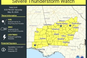
Areas from Auburn down to Eufaula are under a new severe thunderstorm watch until 9 p.m.
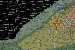
Storms over South and Southeast Alabama may be severe this afternoon. Damaging winds and hail are possible.
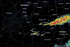
Some afternoon storms are possible as a cold front approaches, and some of these storms could be strong producing damaging wind gusts and hail. It is not going to storm everywhere, as these will be mainly over the southern third of the state, along and south of Montgomery.
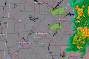
Down to just two counties in the severe thunderstorm watch that expires at 9 a.m.
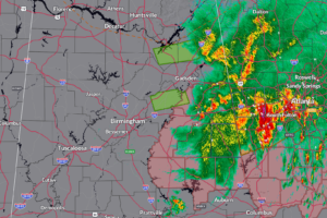
The next question is whether the atmosphere will recover ahead of an approaching cold front in time for more strong storms later today. Our cold front is near Memphis now. A few isolated or scattered storms may form this morning behind the main rain mass and again this afternoon, either south of I=85 early in the afternoon or in the late afternoon near I-59. Those storms could be strong to severe with damaging winds and hail.
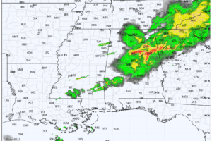
RADAR CHECK: Strong to severe thunderstorms continue over the eastern half of Alabama early this morning. These storms produced wind damage in a number of counties since midnight; over 80,000 are without power in Alabama shortly after daybreak.
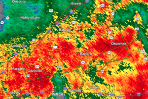
At 6:29 AM CDT, Doppler radar indicated thunderstorms producing heavy rain in the warned area. Flash flooding is either ongoing or expected to begin shortly.
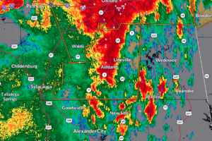
As of 6:20 AM CDT, a severe thunderstorm was located 7 miles southeast of Waldo, or 7 miles west of Ashland, moving east at 35 mph.
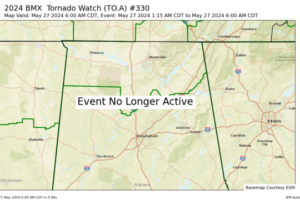
NWS Birmingham has cancelled the tornado watch for Blount, Cherokee, Etowah, Fayette, Lamar, and Walker counties in Central Alabama. No other counties remain in the tornado watch.
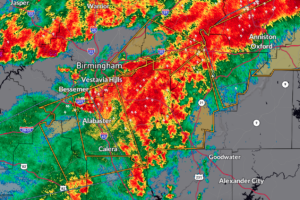
As of 5:57 AM CDT, a severe thunderstorm was located near Leeds, moving northeast at a rapid pace of 65 mph.
Notifications