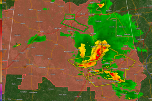
Live Blog: Severe Weather in Alabama: What to Expect Overnight
Storms tonight will be capable of large hail and damaging winds, as well as deadly lightning and heavy rain. A couple of tornadoes are not out of the question as well.

Storms tonight will be capable of large hail and damaging winds, as well as deadly lightning and heavy rain. A couple of tornadoes are not out of the question as well.
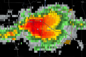
At 614 PM CDT, a severe thunderstorm was located near Columbus, moving east at 30 mph.
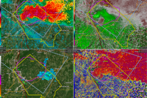
Dangerous storm in Shelby County east of I-65. The core is over Columbiana.
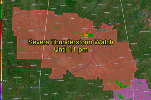
Damaging winds and large hail are the main threat, but a tornado or two can’t be ruled out.
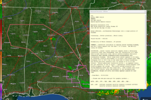
A new severe thunderstorm watch is coming soon for much of Alabama.
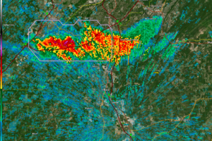
Lots of lightning and very close to being severe. Tons of instability and plenty of bulk shear, so it could go severe. No chance of a tornado though.
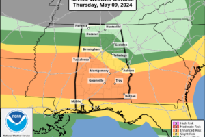
RADAR CHECK: We have a few lingering showers over Southeast Alabama at mid-afternoon, otherwise the sky is partly to mostly sunny with temperatures in the 80s. A few spots in West Alabama have reached 90 degrees.
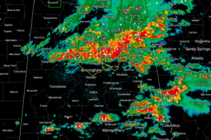
A line of storm is triggering severe thunderstorm warnings over Central Alabama.
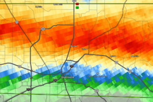
3-4 inches of rain has fallen across parts of the warning area.
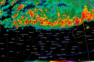
The storms may grow stronger through the day as they move southward. The best chances for strong winds and perhaps hail or or tornado will exist south of a line from Reform to Birmingham to Oxford.
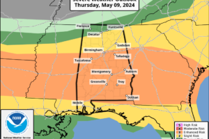
RADAR CHECK: A line of thunderstorms is pushing southward through the Tennessee Valley early this morning. So far most of the storms have remained below severe limits, but we note a tornado watch is in effect until 10am for areas north of a line from Millport to Jasper to Cullman to Fort Payne.
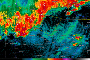
The line of storms now extends from Cherokee to Muscle Shoals, to Athens, Huntsville, and New Market. It is pushing slowly to the southeast.
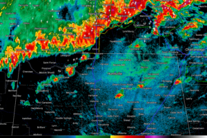
Storms are starting to fire over North Alabama ahead of a strong line of storms that will drop southward through the day across our state.
Notifications