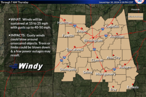
Wind Advisory for Central Alabama
Gusty winds will blow around unsecured objects. Trees could be blown down and a few power outages may result.

Gusty winds will blow around unsecured objects. Trees could be blown down and a few power outages may result.
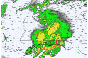
RADAR CHECK: A large mass of rain covers Alabama this afternoon, a few strong to severe storms are moving through the southeast corner of state and the Florida Panhandle. The risk of severe storms will end soon for far Southeast Alabama, and rain tapers off this evening elsewhere.
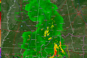
These strong winds will push across Central Alabama behind the main rain area this afternoon and evening. Winds will gust to 40-50 mph. Trees will be knocked down and power will be interrupted in some areas.
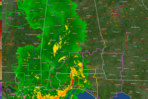
As expected, severe weather is occurring over Northwest Florida and extreme South Alabama this afternoon. Just rain and some embedded thunder for North and Central Alabama. Winds will continue to gust to 30 mph at times across Central Alabama. Flash flood watches remain in effect for the southwestern two thirds of Alabama.
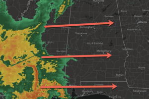
Rain and storms are on their way to Alabama, and it is going to be a wet, windy, and stormy Wednesday afternoon and evening across Alabama.
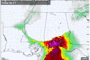
SEVERE STORM POTENTIAL: Rain becomes more widespread across Alabama this afternoon and tonight, along with the potential for strong thunderstorms. We believe the main risk of severe storms will be across far South Alabama and the Florida Panhandle, along and south of a line from Grove Hill to Evergreen to Headland.
Notifications