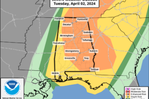
Latest SPC Update: Enhanced Risk Continues for Much of North/Central Alabama
There is currently an enhanced risk of severe thunderstorms in several areas, including far eastern Ohio and portions of the Tennessee Valley and Southeastern states.

There is currently an enhanced risk of severe thunderstorms in several areas, including far eastern Ohio and portions of the Tennessee Valley and Southeastern states.
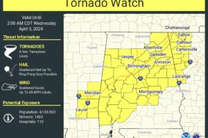
The National Weather Service has issued Tornado Watch 82 until 2 AM CDT Wednesday for 33 counties in Central Alabama, and 4 counties in North Alabama.
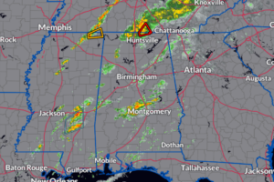
Strong to severe storms are currently impacting North Alabama, bringing significant weather hazards. Meanwhile, portions of Central Alabama are experiencing steady rain and non-severe storms. Thankfully, the rest of the region remains relatively calm.
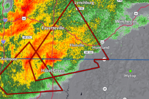
A severe thunderstorm capable of producing a tornado was located near Hazel Green, moving northeast at 40 mph. Funnel clouds have been previously reported with this storm.
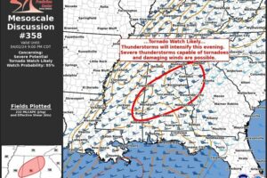
Thunderstorms are expected to increase in number through the evening, bringing a higher risk of tornadoes and damaging winds. Watch issuance is anticipated within the next few hours.
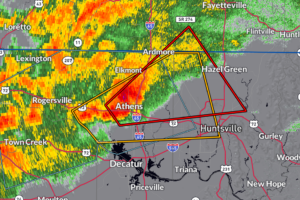
This storm will affect areas like Athens around 6:00 PM CDT, Harvest around 6:05 PM CDT, and Hazel Green around 6:25 PM CDT. Other locations impacted include Blanche, Capshaw, French Mill, Taft, Toney, and Elkwood.
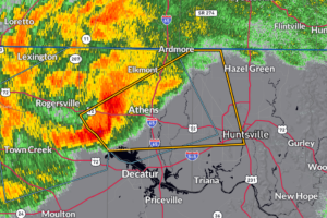
A severe thunderstorm near Tanner is moving northeast at 35 mph, with 60 mph wind gusts expected to cause damage to roofs, siding, and trees.
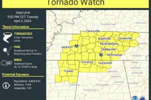
As destabilization continues, storms will continue to form and intensify and could produce damaging winds, hail, and tornadoes.
RADAR CHECK: At mid-afternoon showers and a few thunderstorms continue across the northwest corner of Alabama… the rest of the state is mostly cloudy and warm with temperatures in the 77-81 degree range.
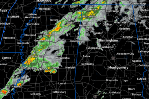
These storms will push into Northwest Alabama around 4 or 4:30 p.m. and will affect mainly the Tennessee Valley through this evening.
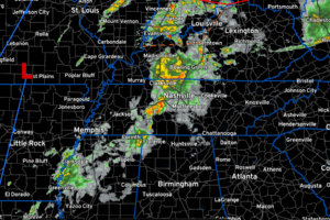
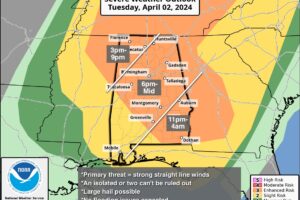
Severe weather, including damaging winds up to 70 mph, hail up to ping pong ball size, and possible tornadoes, is expected across North and Central Alabama from 3 pm Tuesday through 4 am Wednesday. Residents are urged to stay weather aware and prepare for rapid changes in conditions as this potent system moves through the region.
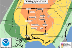
STRONG STORMS ON THE WAY: The weather becomes very active later today and overnight across Alabama as a dynamic storm system will bring an organized band of showers and thunderstorms into Alabama. PLACEMENT: First off, all of Alabama is included in a risk of severe weather for this event, so don’t focus too much on […]
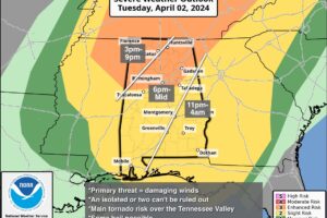
ACTIVE WEATHER AHEAD: A dynamic weather system will bring showers and thunderstorms into Alabama later today and tonight. SPC maintains an “enhanced risk” (level 3/5) of severe thunderstorms for about the northern third of the state (from Birmingham north), with a “slight risk” (level 2/5) down to the Gulf Coast.
Notifications