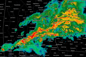
Severe Weather Threat Continues to Dwindle…Should be Limited to Southeast Alabama Later On
Not enough instability for severe weather so far. There could be some in the morning over Southeast Alabama, but for now, you can rest easy overnight.

Not enough instability for severe weather so far. There could be some in the morning over Southeast Alabama, but for now, you can rest easy overnight.
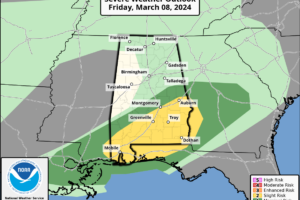
Moderate to heavy rain continues across much of Central Alabama at this hour but no severe weather is in progress. The severe threat continues overnight so the southern third of Central Alabama.
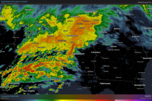
RADAR CHECK: Rain is widespread across Alabama this afternoon with the exception of the southeast part of the state. A flash flood watch will remain in effect tonight for the central and southern counties.
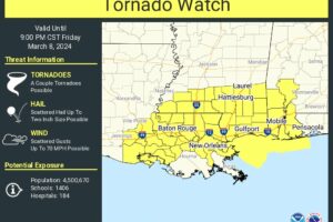
Scattered thunderstorms are forecast to gradually develop and intensify across the Watch area this afternoon into the evening. The stronger storms will potentially be capable of large hail, damaging gusts, and a tornado risk with the more intensely rotating thunderstorms.
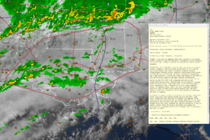
The risk for damaging gusts and a tornado or two in parts of the lower Mississippi Valley and central Gulf Coast is expected to slowly increase through the afternoon, with a 60 percent probability that a severe weather watch may be issued.
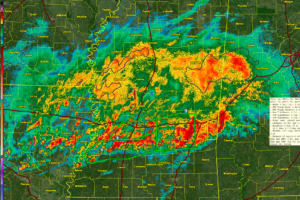
A dynamic storm system will bring heavy rain and the potential for severe weather to mainly South Central and South Alabama through Saturday morning. Some impressive rainfall totals could fall near and north of the I-85 Corridor. Frost is possible Monday and Tuesday mornings behind a cold front.
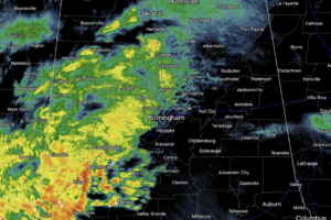
Rain is ongoing across Alabama today, and heavier rain and storms are increasing in coverage and will continue to do so through the afternoon, evening, and overnight hours. Some strong and severe storms are possible, but flooding will be the main concern with this event the next 24 hours.
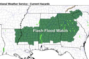
WET: We have some patchy light rain across Alabama early this morning, but rain becomes widespread later today and tonight ahead of an approaching storm system. The main concern with this event is heavy rain and some potential flooding; a flash flood watch is in effect for much of the state. Parts of Central Alabama could receive over 4 inches of rain over the next 24 hours.
Notifications