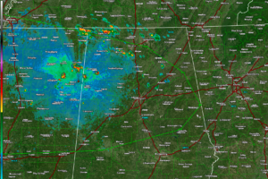
A Marginal Marginal Severe Threat
Jason Davis just said it best at the NWS Birmingham. Tonight’s threat is looking like a “marginal” marginal

Jason Davis just said it best at the NWS Birmingham. Tonight’s threat is looking like a “marginal” marginal
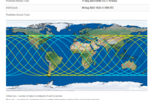
Many people reported seeing a very bright fireball over Alabama and Florida tonight. You might be surprised at what it was.
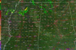
There is a chance for a few isolated wind damage reports from the stronger storms through the overnight hours. More strong to severe storms are possible tomorrow afternoon, mainly over South Central Alabama.
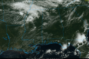
CALM AFTERNOON: All of Alabama is rain-free this afternoon with temperatures ranging from the low 80s over the northern counties to the low 90s near the Gulf Coast. The air was totally worked over by storms last night and early this morning, when some spots received 1-2 inches of rain.
And we are not finished with the rain. Only a few isolated showers through early evening tonight. But by 9-10 p.m., showers and storms will be showing up again over West Central Alabama. This activity will increase in coverage and intensity through the overnight hours. Some of the storms will be severe again with a Marginal Risk (Level 1 out of 5) in affect for much of North and Central Alabama.
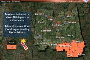
Heat indices in the Advisory areas may exceed 105F.
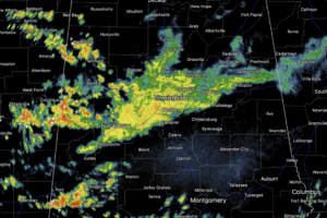
More scattered storms will develop this afternoon, especially across southern portions of the state. It won’t rain everywhere, but where storms develop they will be strong with potential for hail and gusty winds.
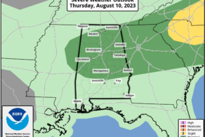
RADAR CHECK: At sunrise showers and thunderstorms are active over the northern half of the state. All are under severe limits, but they are producing heavy rain, gusty winds, and lots of lightning. SPC has defined a “marginal risk” (level 1/5) of severe thunderstorms for roughly the northern 2/3 of Alabama today.
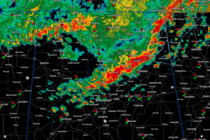
The sever weather threat is generally over for this first round. Additional storms will form over South Central Alabama this afternoon. Another storm complex will move southward through Alabama Thursday evening bringing the threat of additional severe weather. And another round is expected during the day on Friday.
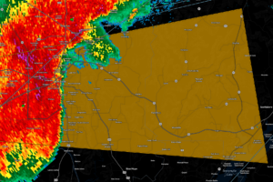
A bowing segment has developed in the Huntsville area, prompting a severe thunderstorm warning for Madison, Marshall, and Jackson Counties.
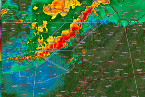
No watches or warnings in effect for Alabama at this time. The storms are going to produce wind gusts to 50 mph, which can blow down limbs and weaker trees.
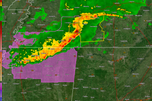
The storms are projected to reach Northwest Alabama around 1:30 a.m. and the Shoals area around 2 a.m. Cullman/Jasper around 3:30 a.m. Birmingham around 4:30-5 a.m.
Notifications