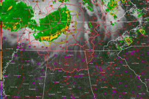
Severe Thunderstorm Watch for North Alabama
A complex of storms dropping southeastward through Middle Tennessee will be turning its sights on Alabama’s Tennessee Valley in coming hours.

A complex of storms dropping southeastward through Middle Tennessee will be turning its sights on Alabama’s Tennessee Valley in coming hours.
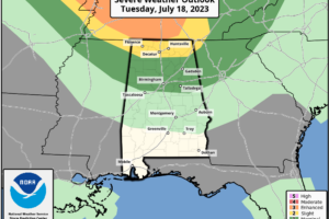
HOT SUMMER DAY: The sky is partly too mostly sunny across Alabama this afternoon with temperatures generally in the low to mid 90s. To the north, we are watching an organized batch of severe thunderstorms (an MCS, Mesoscale Convective System) over Tennessee. These will move into North Alabama this evening, and SPC has defined a “slight risk” (level 2/5) of severe storms for the Tennessee Valley of North Alabama, with a “marginal risk” (level 1/5) as far south as Tuscaloosa, Pelham, and Wedowee.
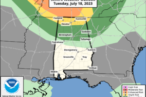
Later this evening, we are likely to see an MCS (Mesoscale Convective System) drop into North Alabama and the SPC has defined a “marginal risk” (level 1/5) of severe thunderstorms for the northern third of the state…north of a line from Tuscaloosa, Pelham, and Wedowee.
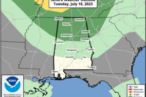
HOT SUMMER DAYS: We expect a high in the 92-97 degree range across Alabama today with sunshine filtered by smoke from Canadian wildfires in the higher levels of the atmosphere, and the usual summer particulates near the surface. High resolution model data suggests an MCS (Mesoscale Convective System) could creep into North Alabama early tonight.
Notifications