
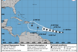
Everyone, Meet Tropical Storm Bret…
Bret is expected to move through the Lesser Antilles as a hurricane on Thursday and Friday, bringing a risk of flooding from heavy rainfall, hurricane-force winds, and dangerous storm surge and waves.

Bret is expected to move through the Lesser Antilles as a hurricane on Thursday and Friday, bringing a risk of flooding from heavy rainfall, hurricane-force winds, and dangerous storm surge and waves.
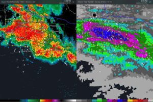
Dangerous flash flooding is occurring in Mobile and Baldwin Counties and will only be made worse by ongoing torrential rains.
An upper low over the region will keep the weather unsettled through most of the week with the chance of occasional showers and storms.
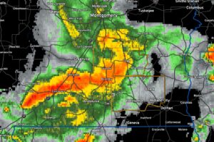
Be alert as these dangerous storms approach and be in a safe part or a substantial structure. Do not be driving.
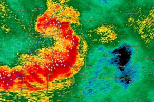
At 458 AM CDT, severe thunderstorms were located along a line extending from near Davenport to near Highland Home to 7 miles west of Rutledge, moving east at 60 mph.
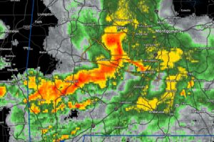
Be in a safer place in your home as this dangerous system approaches.
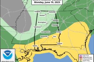
Today will be mainly drier with slowly clearing skies from the west. South Alabama could see severe weather through the morning hours.
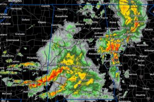
The NWS Birmingham says that they are going to clear Sumter, Greene, and Hale from the Tornado Watch shortly. The last section will be Marengo, Perry, and Dallas.
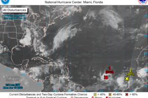
Lots of uncertainty about the future intensity and track of the developing tropical cyclone, but it is no threat to Alabama or the Gulf Coast.
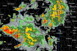
It appears the greatest severe threat (for Central Alabama) is currently Pickens down through Dallas Counties. Watching a possible tornado moving into Choctaw County right now.
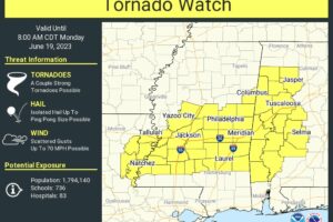
This new watch replaces the old watch that was set to expire at 2 a.m. East Alabama needs to remain vigilant overnight as we are not sure how far east the severe weather will extend overnight into early Monday.
Notifications