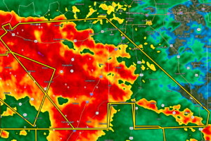
CANCELLED – Severe T-Storm Warning for Parts of Lowndes, Montgomery Co. Until 10 pm
At 917 PM CDT, severe thunderstorms were located along a line extending from Benton to near Davenport, moving east at 35 mph.

At 917 PM CDT, severe thunderstorms were located along a line extending from Benton to near Davenport, moving east at 35 mph.
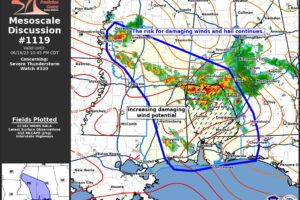
The risk for large hail and damaging winds continues across WW320. Damaging wind potential may be increasing across southwest AL in the next 1–2 hours.
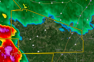
At 831 PM CDT, severe thunderstorms were located along a line extending from 6 miles south of Belknap to 6 miles northeast of Pine Apple, moving east at 45 mph.
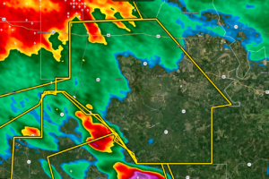
At 808 PM CDT, severe thunderstorms were located along a line extending from near Vaiden to near Chickasaw State Park to near Marion, moving southeast at 30 mph.
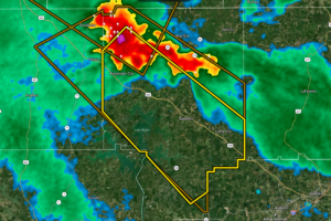
At 746 PM CDT, a severe thunderstorm was located over Alexander City, moving southeast at 30 mph.
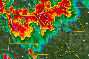
At 737 PM CDT, severe thunderstorms were located along a line extending from 6 miles northeast of Greensboro to near Tishabee to near Tamola, moving southeast at 30 mph.
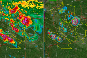
Big hail is falling over several counties in West Central Alabama right now. I-20/59 is not dafe between Tuscaloosa and the Mississippi border.
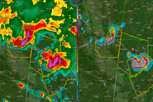
This new storm will roll down US-82 through Macedonia, Reform, Gordo, and Elrod south to Carrollton. They already had 2.75″ or baseball sized hail in Coalfire less than an hour ago.
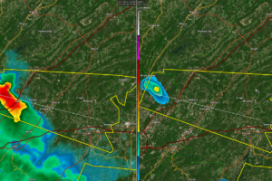
Intensifying storms near Clay in Northeast Jefferson County are moving east southeast and will affect Argo, Margaret, Odenville, Branchville, and Wattsville.
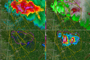
Folks from Carrollton, Reform, and Gordo down to Aliceville and southeastern Pickens County need to be in a safe place as these dangerous storms approach. Try to get your vehicles under shelter as the hail may be as large as tennis balls.
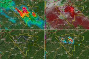
The storms southeast of Birmingham have intensified rapidly and now show signs of large hail and could produce damaging winds.
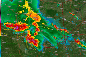
New storms have developed north of Birmingham. They extend from north of Jasper to Sumiton to Kimberly to Pinson. They are increasing in intensity.
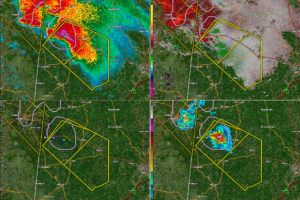
The most dangerous part of this storm now is near US-82 just east of Ethelsville. Still indicating 1″ hail with the capacity to produce 1.5 inch hail. The hail core has increased a little in the past five minutes.
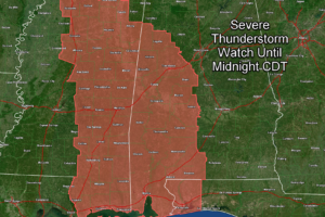
In Alabama, the watch includes Bibb, Dallas, Fayette, Greene, Hale, Lamar, Marengo, Perry, Pickens, Sumter, and Tuscaloosa Counties.
Notifications