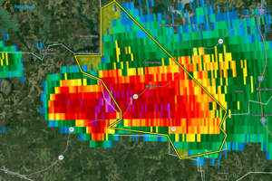
Severe T-Storm Warning for Parts of Cullman Co. Until 7 pm
At 633 PM CDT, a severe thunderstorm was located over Smith Dam, or 10 miles southeast of Arley, moving southeast at 35 mph.

At 633 PM CDT, a severe thunderstorm was located over Smith Dam, or 10 miles southeast of Arley, moving southeast at 35 mph.
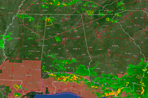
The SPC issued a mesoscale discussion about an hour ago and they are not concerned enough to put up a watch based on current conditions. But the storms will still have the potential to pack a punch as they grow this afternoon with damaging winds and some large hail.
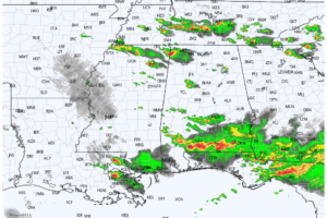
RADAR CHECK: An organized mass of rain and storms continues to push through South Alabama this afternoon; multiple severe thunderstorm warnings are in effect from Atmore to Dothan as of 3p CT. To the north, scattered thunderstorms are increasing over the northern 2/3 of the state as well.
The Birmingham radar is down for now. Parts are enroute and hopefully the repairs can be made this afternoon. There are comms line problems too that require work by the provider.

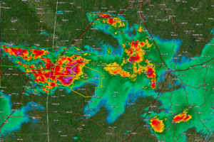
The storm in Sumter County is growing in intensity as it pushes east-southeast toward Marengo County. It will impact Linden, Sweet Water, and Thomaston.
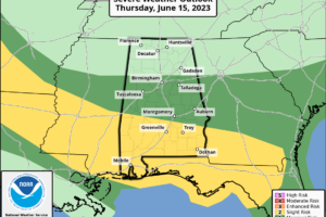
A persistent weather pattern means no real break from rain and strong storm across Alabama. The stalled frontal boundary across the Deep South continues to be a highway for strong and severe storms from Texas to Georgia.
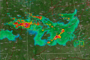
Please be in a substantial structure as this storm approaches. It is capable of damaging winds.
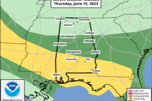
RADAR CHECK: We have a band of rain and strong, noisy thunderstorms across Central Alabama early this morning. Storms are producing torrential rain, some small hail, gusty winds, and very frequent lightning. Through the day today we project scattered to numerous showers and thunderstorms, and SPC has defined a “slight risk” (level 2/5) of severe storms south of a line from Linden to Fort Deposit to Eulfaula, and a “marginal risk” as far north as Fayette, Gardendale, and Heflin.
Notifications