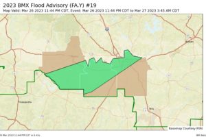
Areal Flood Advisory — Parts of Dallas, Lowndes, Montgomery Co. Until 3:45 am
At 1144 PM CDT, Doppler radar indicated heavy rain due to thunderstorms. This will cause urban and small stream flooding. Between 1 and 3 inches of rain have fallen.

At 1144 PM CDT, Doppler radar indicated heavy rain due to thunderstorms. This will cause urban and small stream flooding. Between 1 and 3 inches of rain have fallen.
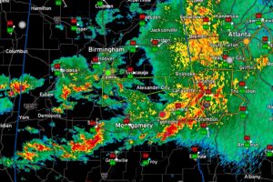
The most dangerous storms in Alabama are getting ready to push into Georgia, but strong storms continue across South Central Alabama and still pose a severe threat including a threat for tornadoes for the next few hours. Storms further north are loud, but not severe.
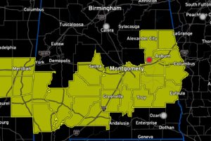
The NWS has cleared three counties off the northern edge of the Tornado Watch.
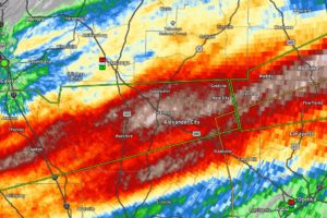
Catastrophic flash flooding could occur in these Flash Flood Warning Counties. Turn around, don’t drown!
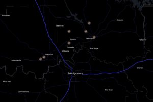
Multiple reports of wind damage including a possible tornado are coming in from Autauga and Elmore Counties late this evening. This same storm is near US-280 now between Dadeville and Camp Hill.
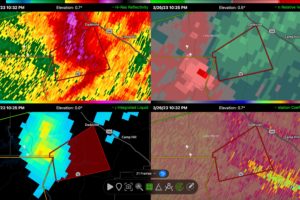
Dangerous rotation approaching US-280 between Camp Hill and Dadeville.
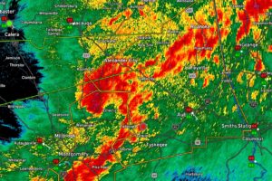
At 1008 PM CDT, severe thunderstorms were located along a line extending from near Nixburg to Martin Dam to near Shorter, moving east at 60 mph.
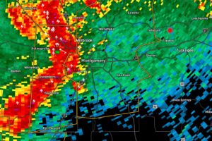
Damaging winds are likely with the storms moving into Elmore and Montgomery Counties.
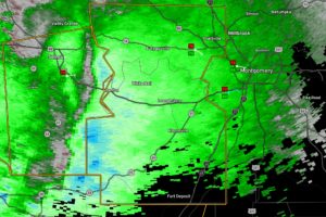
Doppler radar indicates very strong winds of 60-70 mph are approaching Autauga and Lowndes Counties from Dallas County.
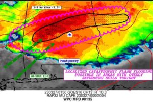
The Weather Prediction Center warns that training thunderstorms over Central Alabama are moving over areas that have already received excessive rainfall.
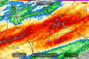
Some spots between Clanton and Alex City are approaching 7-8 inches of rain over the past 36 hours. Heavy rain is continuing.
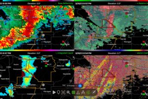
At 846 PM CDT, severe thunderstorms were located along a line extending from near Bogue Chitto to near Camden, moving east at 50 mph.
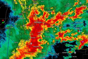
At 810 PM CDT, severe thunderstorms were located along a line extending from Walden Quarters to 8 miles southwest of Thomasville, moving east at 45 mph.
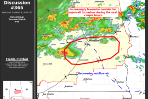
Increasing dynamics supportive of tornadoes are located over parts of South Central Alabama tonight and the storms moving into and through this corridor have an enhanced potential to produce tornadoes. We want all of our friends in the tornado watch to be vigilant, especially in the US-80 and I-85 Corrdiors.
Notifications