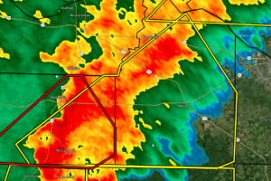
EXPIRED Severe T-Storm Warning — Parts of Franklin, Lawrence Co. Until 12:30 am
At 1144 PM CDT, severe thunderstorms were located along a line extending from near Hackleburg to near Haleyville, moving northeast at 55 mph.

At 1144 PM CDT, severe thunderstorms were located along a line extending from near Hackleburg to near Haleyville, moving northeast at 55 mph.
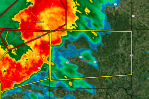
At 1143 PM CDT, severe thunderstorms were located along a line extending from near Needmore to Lake Buttahatchee to near Brilliant, moving east at 60 mph.
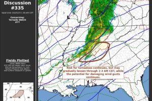
The risk for a few tornadoes continues, but probably will gradually lessen with storms overspreading the region through 2-3 AM CDT.
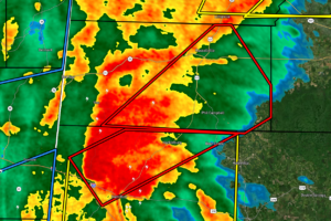
At 1124 PM CDT, a severe thunderstorm capable of producing a tornado was located near Weston, or near Hamilton, moving northeast at 55 mph.
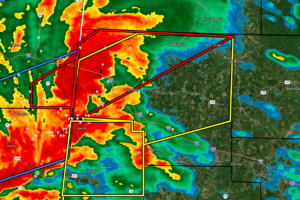
At 1115 PM CDT, severe thunderstorms were located along a line extending from 6 miles southeast of Tremont to Detroit, moving east at 60 mph.
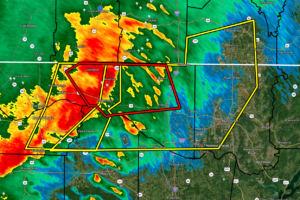
At 1111 PM CDT, severe thunderstorms were located along a line extending from 6 miles east of Lexington to Rogersville to near Leighton, moving east at 70 mph.
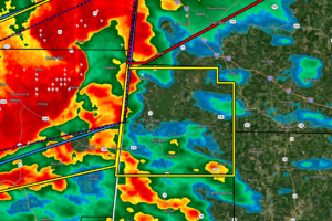
At 1104 PM CDT, severe thunderstorms were located along a line extending from near Smithville to near Amory to Aberdeen, moving east at 60 mph.
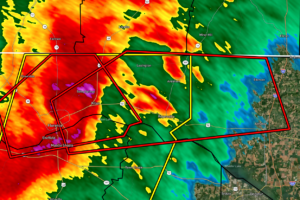
At 1058 PM CDT, a severe thunderstorm capable of producing a tornado was located near St. Florian, or near Florence, moving east at 60 mph.
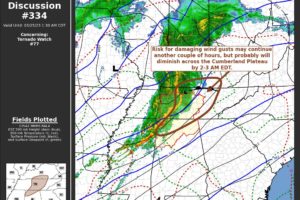
An organized line of thunderstorms may pose a continuing risk for damaging wind gusts another couple of hours, but this threat probably will diminish across the Cumberland Plateau by 2-3 AM EDT.
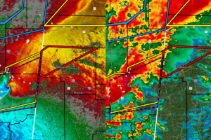
At 1052 PM CDT, a confirmed large and extremely dangerous tornado was located over Amory, moving northeast at 60 mph.
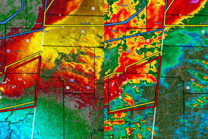
At 1041 PM CDT, a large and extremely dangerous tornado was located near New Wren, or 8 miles northwest of Aberdeen, moving northeast at 65 mph.
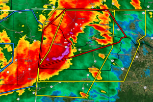
At 1040 PM CDT, severe thunderstorms were located along a line extending from Underwood-Petersville to Barton to 6 miles northeast of Red Bay, moving east at 55 mph.
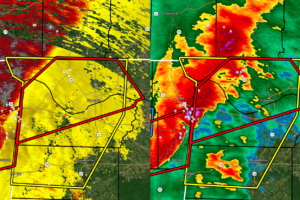
At 1019 PM CDT, a severe thunderstorm capable of producing a tornado was located near Midway, or near Tishomingo State Park, moving northeast at 60 mph.
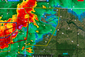
At 1004 PM CDT, severe thunderstorms were located along a line extending from near Waterloo to Midway to Burton, moving east at 50 mph.
Notifications