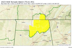
More Tennessee Valley Counties Removed from Tornado Watch
NWS Huntsville cancels the tornado watch for Lawrence and Limestone counties, and continues the watch for Cullman, DeKalb, Jackson, Madison, Marshall, and Morgan counties until 2 am.

NWS Huntsville cancels the tornado watch for Lawrence and Limestone counties, and continues the watch for Cullman, DeKalb, Jackson, Madison, Marshall, and Morgan counties until 2 am.
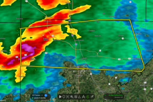
At 1141 PM CST, a severe thunderstorm was located over Sardis, or 9 miles northeast of Arley, moving east at 50 mph.
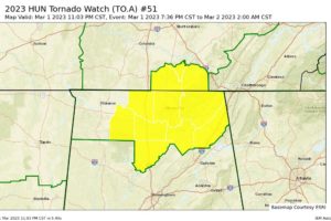
NWS Huntsville cancels the tornado watch for Colbert, Franklin, and Lauderdale counties in the Tennessee Valley, and continues Cullman, DeKalb, Jackson, Lawrence, Limestone, Madison, Marshall, and Morgan counties until 2 am.
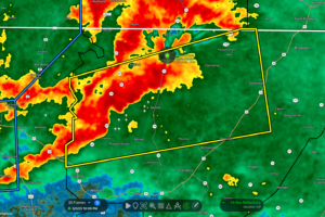
At 1100 PM CST, a severe thunderstorm was located 8 miles west of Skyline, or 15 miles east of Moores Mill, moving east at 35 mph.
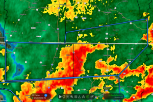
At 1058 PM CST, Doppler radar indicated thunderstorms producing heavy rain across the warned area. Between 1 and 3 inches of rain have fallen.
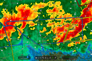
At 1036 PM CST, Doppler radar indicated thunderstorms producing heavy rain across the warned area. Between 1 and 3 inches of rain have fallen.
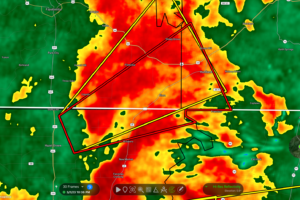
At 1035 PM CST, a severe thunderstorm capable of producing a tornado was located near New Market, or 7 miles northeast of Meridianville, moving northeast at 20 mph.
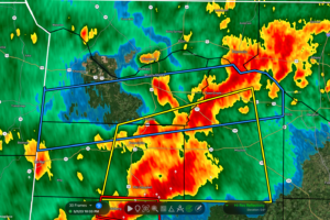
At 1031 PM CST, Doppler radar indicated thunderstorms producing heavy rain across the warned area. Between 1 and 3 inches of rain have fallen.
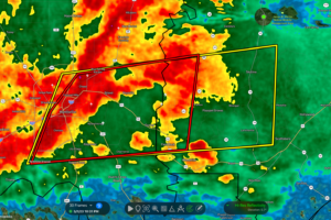
At 1030 PM CST, a severe thunderstorm was located near Gurley, or 8 miles east of Huntsville, moving east at 40 mph.
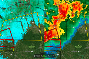
At 1011 PM CST, a severe thunderstorm was located near Phil Campbell, or 10 miles southwest of Russellville, moving east at 45 mph.
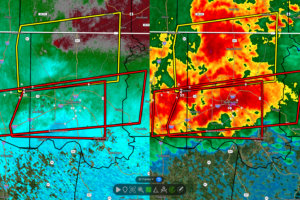
At 1011 PM CST, a severe thunderstorm capable of producing a tornado was located over Madison, moving east at 30 mph.
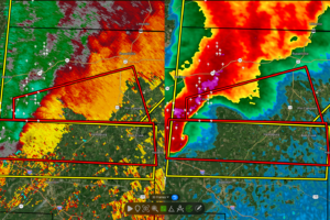
At 956 PM CST, a severe thunderstorm capable of producing a tornado was located 8 miles northwest of Weston, or 11 miles northwest of Hamilton, moving east at 50 mph.
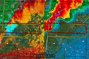
At 953 PM CST, a severe thunderstorm capable of producing a tornado was located 7 miles east of Tremont, or 11 miles northwest of Hamilton, moving east at 55 mph.
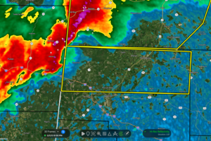
At 949 PM CST, a severe thunderstorm was located near Tremont, or 12 miles east of Fulton, moving east at 55 mph.
Notifications