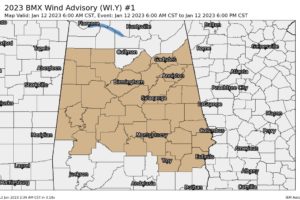
Wind Advisories Extended to 9 pm Tonight
Both NWS Offices in Birmingham and Huntsville have extended the Wind Advisories in time until 9 pm tonight as the threat of gusty winds will continue later into the evening.

Both NWS Offices in Birmingham and Huntsville have extended the Wind Advisories in time until 9 pm tonight as the threat of gusty winds will continue later into the evening.
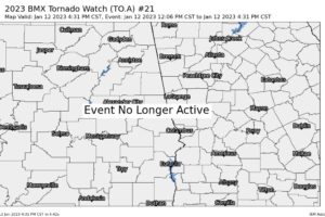
NWS Birmingham has cancelled the Tornado Watch for Barbour, Bullock, Lee, Macon, Pike, Russell counties in Central Alabama as the threat for severe weather has come to an end.
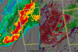
At 403 PM CST, a severe thunderstorm capable of producing a tornado was located 7 miles northeast of Ider, or 7 miles south of Trenton, moving east at 35 mph.
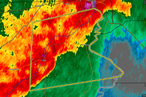
At 400 PM CST, a severe thunderstorm was located near Russell County Sports Complex, or 12 miles southwest of Phenix City, moving east at 45 mph.
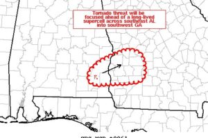
The tornado threat across southeast Alabama into southwest Georgia will be focused ahead of a long-lived supercell that has a history of producing at least one tornado.
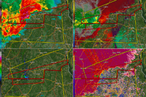
A tornado will be occurring shortly if it is not already occurring just south of Clio. Moving toward Blue Springs in southern Barbour.
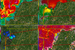
Watching a dangerous storm that has been ramping up as it moves into northern Coffee County.
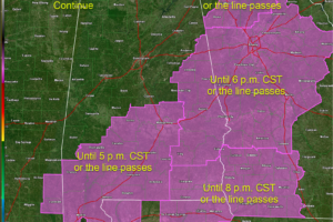
The various tornado watches continue until late afternoon or early evening across parts of Alabama, Mississippi, Florida, and Georgia.
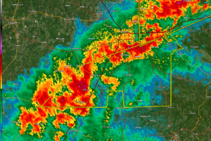
Winds have gusted to 62 mph at Dannelly Field in Montgomery.
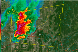
Strong storms are moving into the Huntsville Metro right now. Large hail is the main threat but winds could gust to 50 mph.
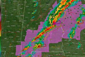
Two main storms of concern in Alabama right now, including a confirmed tornado entering Chambers County, and another over Conecuh County moving toward Covington County. A long line of storms is jut west of the I-65/I-85 Corridor in South, South Central, and East Central Alabama.
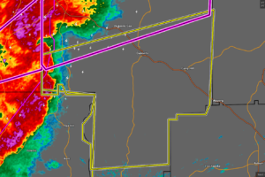
At 133 PM CST, severe thunderstorms were located along a line extending from near Western Lake Martin to near Eclectic to near Santuck, moving east at 65 mph.
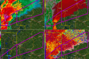
Be in your safe place as this extremely destructive and life-threatening tornado approaches.
Notifications