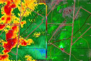
EXPIRED Tornado Warning — Parts of Sumter Co. Until 2:45 pm
At 158 PM CST, a severe thunderstorm capable of producing a tornado was located near Alamucha, or 11 miles east of Meridian, moving northeast at 35 mph.

At 158 PM CST, a severe thunderstorm capable of producing a tornado was located near Alamucha, or 11 miles east of Meridian, moving northeast at 35 mph.
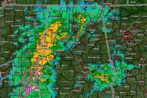
While moderate to heavy rain continues to fall over an already-soaked portion of North/Central Alabama, southeastern Mississippi is up to their armpits in Tornado Warnings, especially along the I-59 corridor.
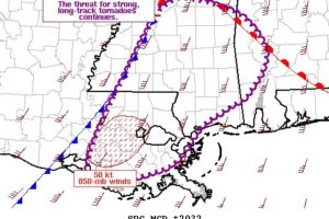
The overall environment remains very conducive to tornadic supercells with ample low-level moisture and buoyancy in the presence of strong low to mid-level flow.
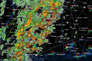
Chad Entremont at the National Weather Service Jackson just made that comment, and it is an understatement.
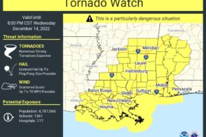
Folks IN AND NEAR the watch areas need to be paying attention. The risk outside of the watches doesn’t magically drop to 0. Severe weather can and does occasionally happen outside of a watched or warned area. If you’re just outside the watch or warning area, you need to say, “hey, I’m just outside this area, and I better pay attention!”.
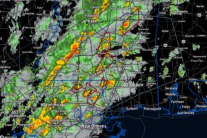
A very bad situation is setting up in the moderate-risk area of Southeast Louisiana, Southern Mississippi, and Southwest Alabama. Multiple tornado warning polygons are in effect now in southern Mississippi and southeastern Louisiana.
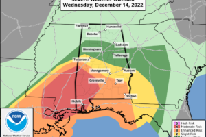
The Storm Prediction Center has upgraded the southwestern parts of Alabama to a level 4/5 Moderate Risk for severe storms, which includes the extreme southwestern parts of Central Alabama along and south of a line from Livingston (Sumter Co.) to Linden (Marengo Co.).
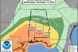
RADAR CHECK: Rain is widespread over North and West Alabama early this morning around sunrise… there are a few embedded thunderstorms, but we don’t expect any severe weather issues this morning. This will be an active day for the state with the dual threat of heavy rain/flooding, and strong to severe thunderstorms.
Notifications