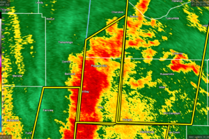
EXPIRED — SEVERE T-STORM WARNING: Parts of Colbert, Franklin Co. Until 8:15 pm
At 751 PM CDT, a severe thunderstorm was located near Red Bay, moving northeast at 60 mph.

At 751 PM CDT, a severe thunderstorm was located near Red Bay, moving northeast at 60 mph.
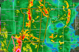
At 740 PM CDT, severe thunderstorms were located along a line extending from 8 miles southeast of Olive Hill to 6 miles southeast of Red Bay, moving northeast at 40 mph.
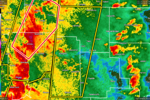
At 718 PM CDT, severe thunderstorms were located along a line extending from near Smithville to 6 miles southwest of Brooksville, moving northeast at 55 mph.
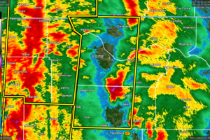
At 646 PM CDT, severe thunderstorms were located along a line extending from near Adamsville to near Evergreen, moving northeast at 55 mph.
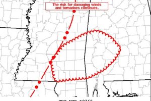
A mature QLCS with a history of damaging winds and tornadoes will continue east this evening. Very strong shear and sufficient buoyancy will continue to support the risk for severe wind gusts (some 70+ mph) and tornadoes.
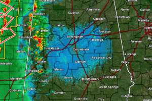
Currently, the main line of storms continue to move across the east-central portions of Mississippi, with four tornado warnings issued on parts of the line.
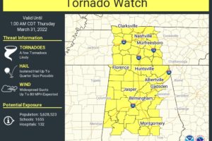
The Storm Prediction Center combined with both NWS offices in Huntsville and Birmingham have issued a TORNADO WATCH effective immediately until 1 am Thursday morning for much of North/Central Alabama.
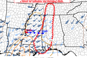
Storms will continue eastward through western Tennessee and much of Mississippi. A new watch will likely be needed for parts of Middle Tennessee and western Alabama within 1-3 hours.
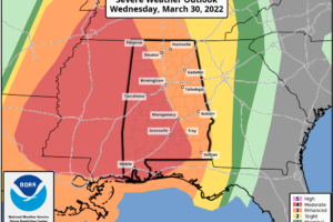
HIGH IMPACT WIND /STORM EVENT AHEAD: Strong south winds are increasing across Alabama this afternoon, gusts to 45 mph have already been reported, and gradient winds could gust to 50/60 mph in spots this evening ahead of the approaching line of thunderstorms.
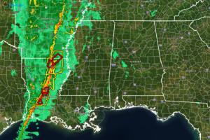
As of 1:30 pm, the line of thunderstorms that is expected to move into North/Central Alabama later this evening is currently west of the Mississippi River over east-central parts of Arkansas and down through central and west-central parts of Louisiana.

A very dynamic storm system is producing severe weather west of Alabama and these storms are heading towards Alabama tonight. A line of severe storms will sweep into and through Alabama overnight.
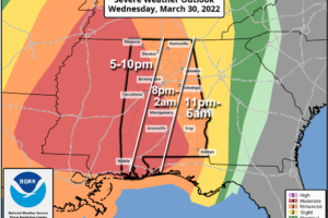
VERY ACTIVE WEATHER AHEAD: Alabamians will need to be very “weather aware” over the next 24 hours as a dynamic storm system approaches the state. While most of the day today will be dry, strong winds will develop this afternoon, and a line of severe storms will sweep through tonight. While thermodynamics (instability) aren’t especially impressive for late March, the dynamics are very strong, and this could be a high impact event for the Deep South.
Notifications