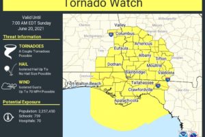
New Tornado Watch Until 7 a.m. for Southeast Alabama/Southwest Georgia
The risk for a few tornadoes will continue through the overnight.

The risk for a few tornadoes will continue through the overnight.
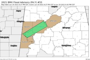
At 627 PM CDT, Doppler radar indicated heavy rain due to thunderstorms. This will cause urban and small stream flooding. Between 2 and 3 inches of rain have fallen.
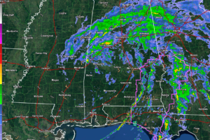
Light to moderate to occasionally heavy rain continues over the northern half of Alabama with showers and thunderstorms in the feeder bands over Southeast Alabama.
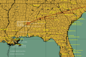
The center of Tropical Depression Claudette is over southwestern Alabama in Marengo County near Sweet Water.
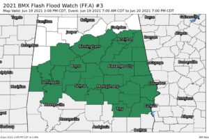
Many areas have seen between 1 and 2 inches of rain so far from Tropical Storm Claudette.
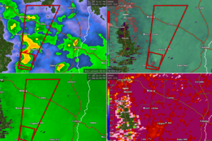
At 252 PM CDT, a severe thunderstorm capable of producing a tornado was located near Clayton, or 10 miles northeast of Clio, moving north at 35 mph.
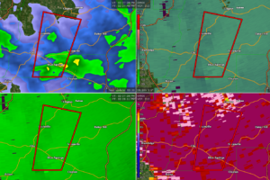
At 227 PM CDT, a severe thunderstorm capable of producing a tornado was located near Blue Springs State Park, or 7 miles southeast of Clio, moving north at 35 mph.
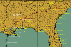
Tropical Storm Claudette is moving into Alabama now with gusty winds, heavy rain, and the threat of tornadoes.
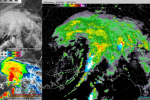
The main rain shield from Tropical Storm Claudette is moving through Central Alabama at this hour. A tornado watch continues for South Alabama.
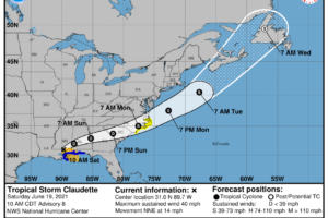
Tropical Storm Claudette is centered just west of Lumberton, Mississippi this morning. It will turn east northeast and cross Central Alabama tonight, weakening to a depression.
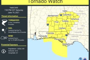
Tornadic circulations are possible into the afternoon over South and Southeast Alabama, as well as NW Florida and southwestern Georgia.
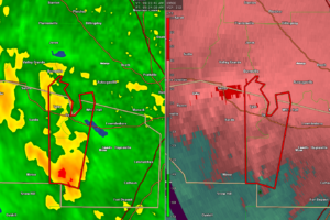
At 923 AM CDT, a severe thunderstorm capable of producing a tornado was located 8 miles southwest of Gordonville, or 11 miles southwest of Mosses, moving north at 45 mph.
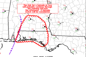
The tornado threat will continue to shift eastward into the afternoon across Southeast Alabama and Northwest Florida.
Notifications