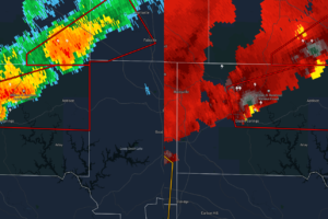
EXPIRED Tornado Warning for Parts of Winston Co. Until 5:15 pm
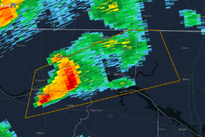
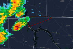
At 436 PM CDT, a severe thunderstorm capable of producing a tornado was located over Winston Free State Barn, or 12 miles northwest of Arley, moving east at 30 mph.

At 436 PM CDT, a severe thunderstorm capable of producing a tornado was located over Winston Free State Barn, or 12 miles northwest of Arley, moving east at 30 mph.
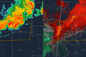
At 431 PM CDT, a severe thunderstorm was located near Sulligent, moving east at 45 mph.
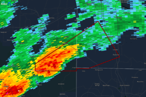
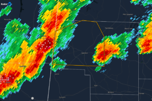
At 428 PM CDT, a severe thunderstorm capable of producing a tornado was located near Brushy Lake, or 12 miles southeast of Moulton, moving northeast at 35 mph.
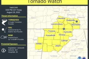
Lingering clusters may still pose a risk for a couple brief tornadoes and locally damaging winds into the early evening.
At 345 PM CDT, a severe thunderstorm was located near Killen, or 8 miles east of Florence, moving northeast at 45 mph.
At 336 PM CDT, a severe thunderstorm was located near Tremont, or 12 miles southeast of Fulton, moving east at 30 mph.
RADAR CHECK: Several bands of showers and thunderstorms are across Alabama this afternoon, southeast of the circulation of former Hurricane Laura, which is turning eastward through Tennessee and Kentucky. So far there have been no tornadoes in Alabama, but the risk of brief, isolated “spin up” tornadoes will continue through the evening hours, especially over the northwest part of the state. Be weather aware, and pay attention to warnings if any are needed.

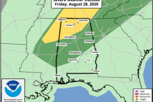
A Slight Risk for severe storms continues through the rest of your Friday for nearly all of North Alabama and for a good part of the northwest quarter of Central Alabama.
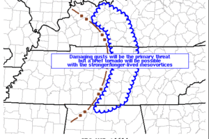
Damaging gusts near bowing segments will be the primary threat but a brief tornado will be possible with the stronger/longer-lived mesovortices.
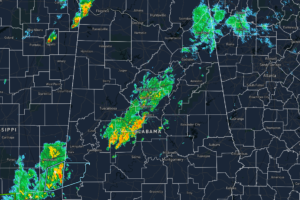
As of 11:40 am, we have no strong to severe storms in North/Central Alabama. We do have showers and storms moving through the extreme northwestern parts of North Alabama and mainly along and just to the south of the I-59 corridor in Central Alabama.
At 1035 AM CDT, a severe thunderstorm capable of producing a tornado was located near Pineflat, or near J P Coleman State Park, moving northeast at 40 mph.
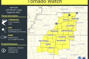
Low-topped supercells should develop east-northeast from northeast Mississippi, posing a risk for brief tornadoes into late afternoon.
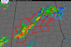
Showers and a few thunderstorms have been moving toward the northeast across Southwest and Central Alabama and this activity is expected to continue to develop and move northeast across the area through tonight.
Notifications