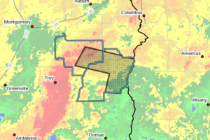
CANCELED – Severe T-Storm Warning For Barbour & Bullock Counties Until 12:15 AM
At 1115 PM CDT, severe thunderstorms were located along a line extending from near Aberfoil to near Ariton, moving east at 65 mph.

At 1115 PM CDT, severe thunderstorms were located along a line extending from near Aberfoil to near Ariton, moving east at 65 mph.
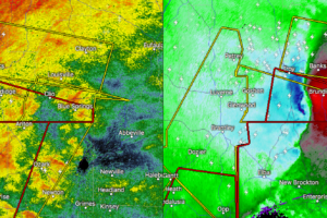
If you are ahead of this storm, seek shelter immediately. Very strong and dangerous winds can be expected, possibly up to and over 80 MPH.
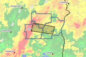
At 1102 PM CDT, severe thunderstorms were located along a line extending from near Linwood to near Troy, moving east at 45 mph.
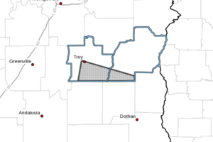
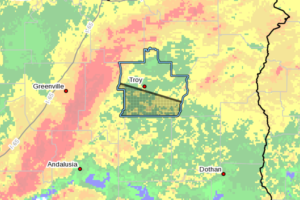
At 1059 PM CDT, a severe thunderstorm capable of producing a tornado was located near Troy University, or near Troy, moving east at 55 mph.
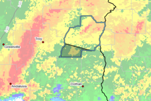
At 1057 PM CDT, a severe thunderstorm was located near Troy University, or near Troy, moving east at 55 mph.
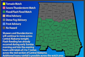
Continued heavy rainfall from showers and thunderstorms will result in an additional inch or so of rain with locally higher amounts.
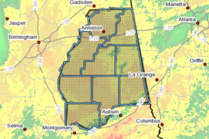
At 1044 PM CDT, Doppler radar and automated rain gauges indicated heavy rain continuing. This will cause areas of flooding in the advisory area. Around 2 to 5 inches of rain have fallen, with additional rain expected over the next few hours.
At 1042 PM CDT, severe thunderstorms were located along a line extending from near Petrey to near Brantley, moving east at 55 mph.
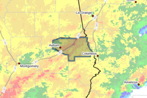
At 1031 PM CDT, Doppler radar and automated rain gauges indicated thunderstorms with heavy rain over the area. The rain will cause additional flooding. Around 4 to 7 inches of rain have fallen, with additional rainfall expected over the next few hours.
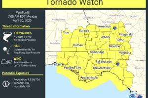
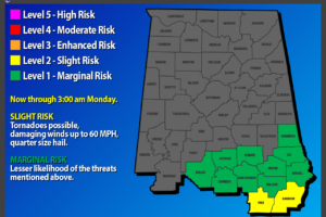
While the overall risk for strong to severe storms is rather small across the southern parts of Central Alabama, a new Tornado Watch has been issued for Southeast Alabama which will include Pike and Barbour counties in South Alabama.
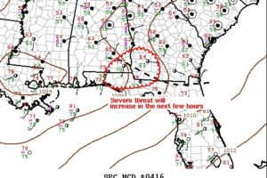
This new tornado watch should stay out of Central Alabama, but with portions of Pike and Barbour counties in the circled area, I thought I would go ahead and post about it.
As of the latest update from NWS Birmingham, the warm front has really been hung up over South Alabama and has failed to make much progress northward through the evening hours. Rain-cooled and stable air really stunted the northward movement of the front.
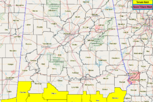
NWS Birmingham has removed Autauga, Bullock, Dallas, Elmore, Lee, Lowndes, Macon, Marengo, Montgomery, and Russell counties from the Tornado Watch as the threat for severe storms have come to an end at this time.
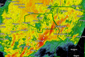
At 830 PM CDT, Doppler radar was tracking a strong thunderstorm near Hurtsboro, moving east at 45 mph.
Notifications